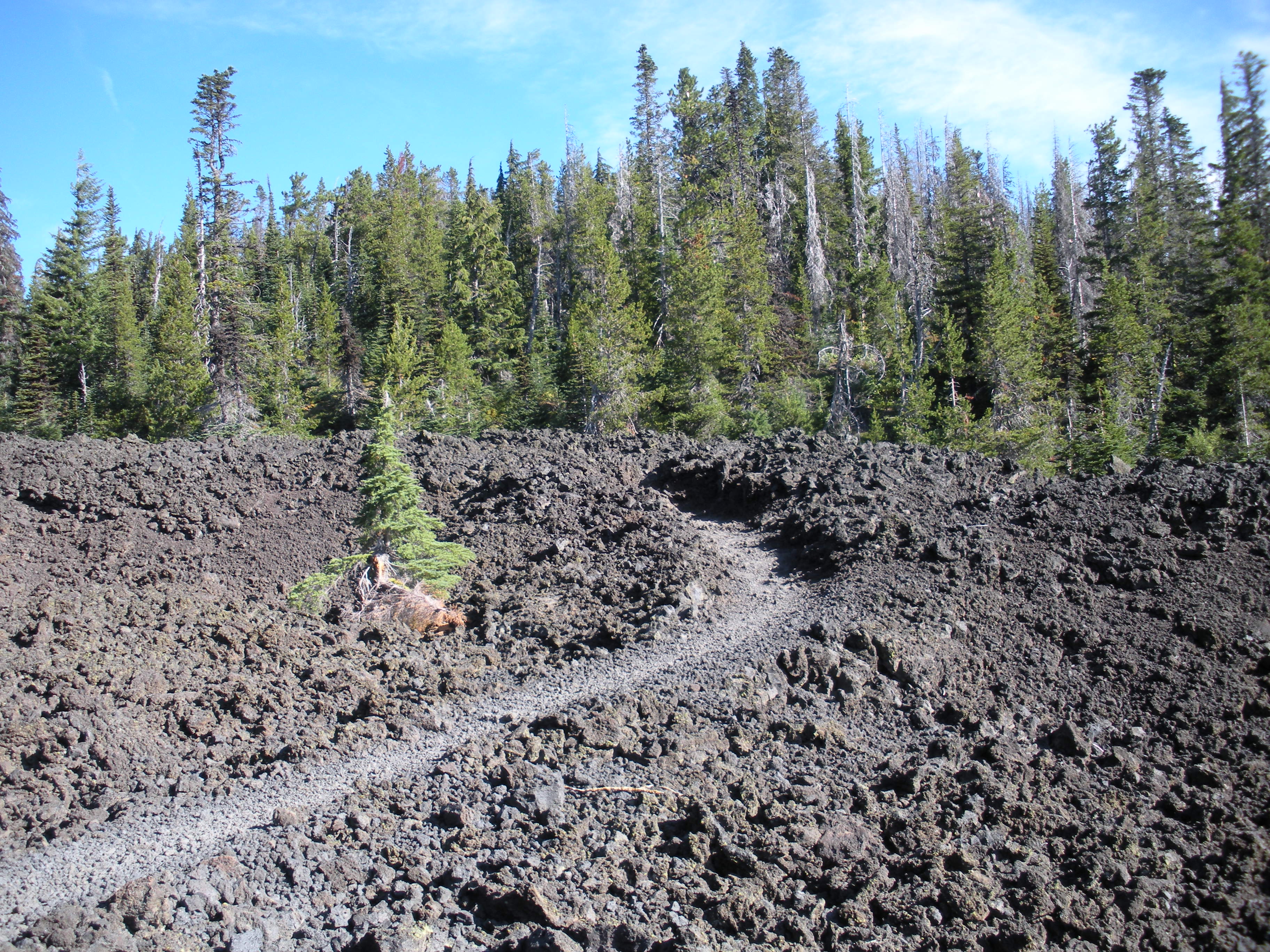
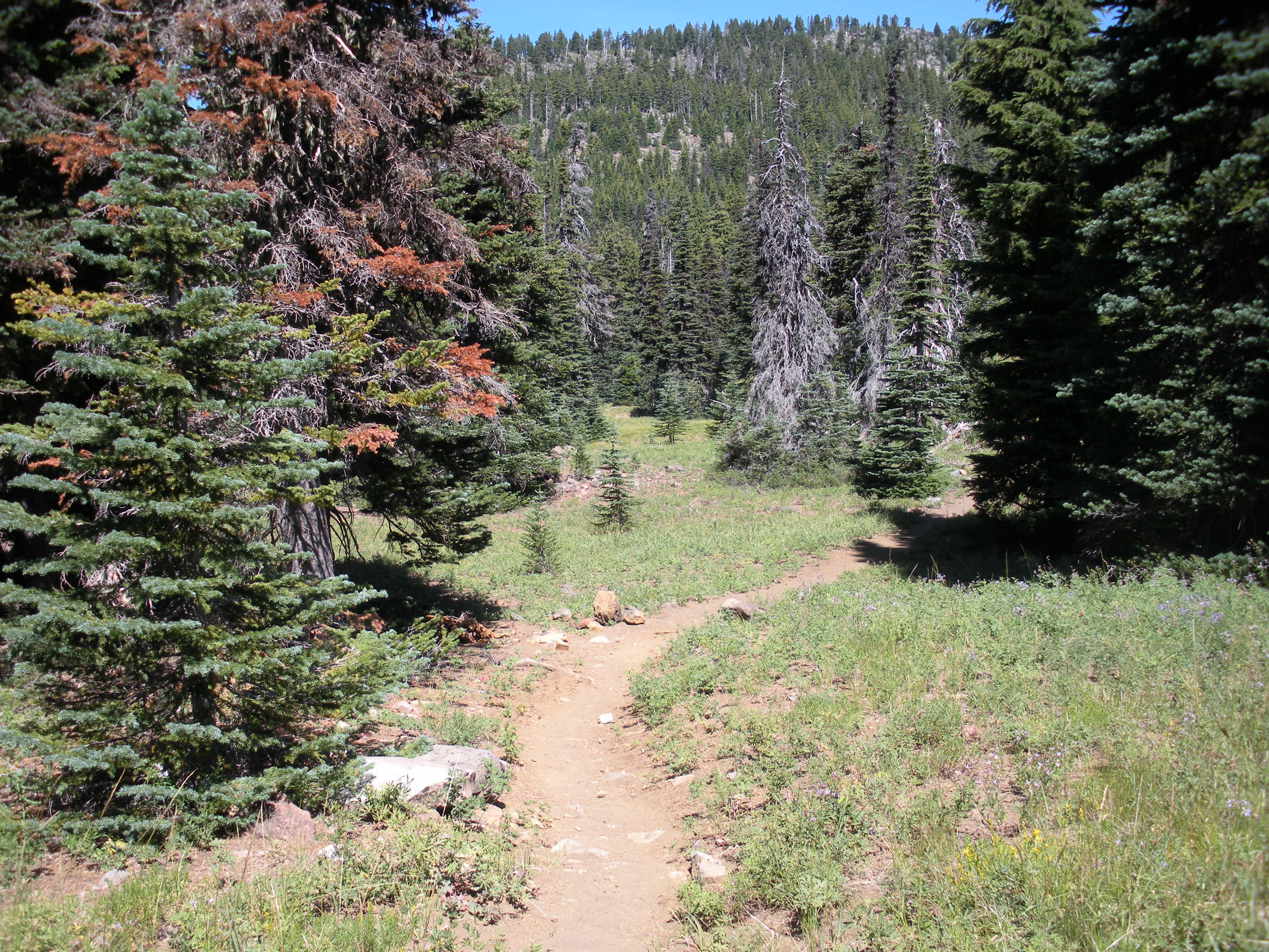
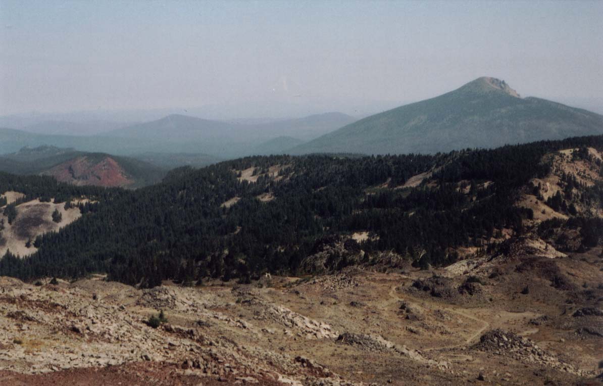
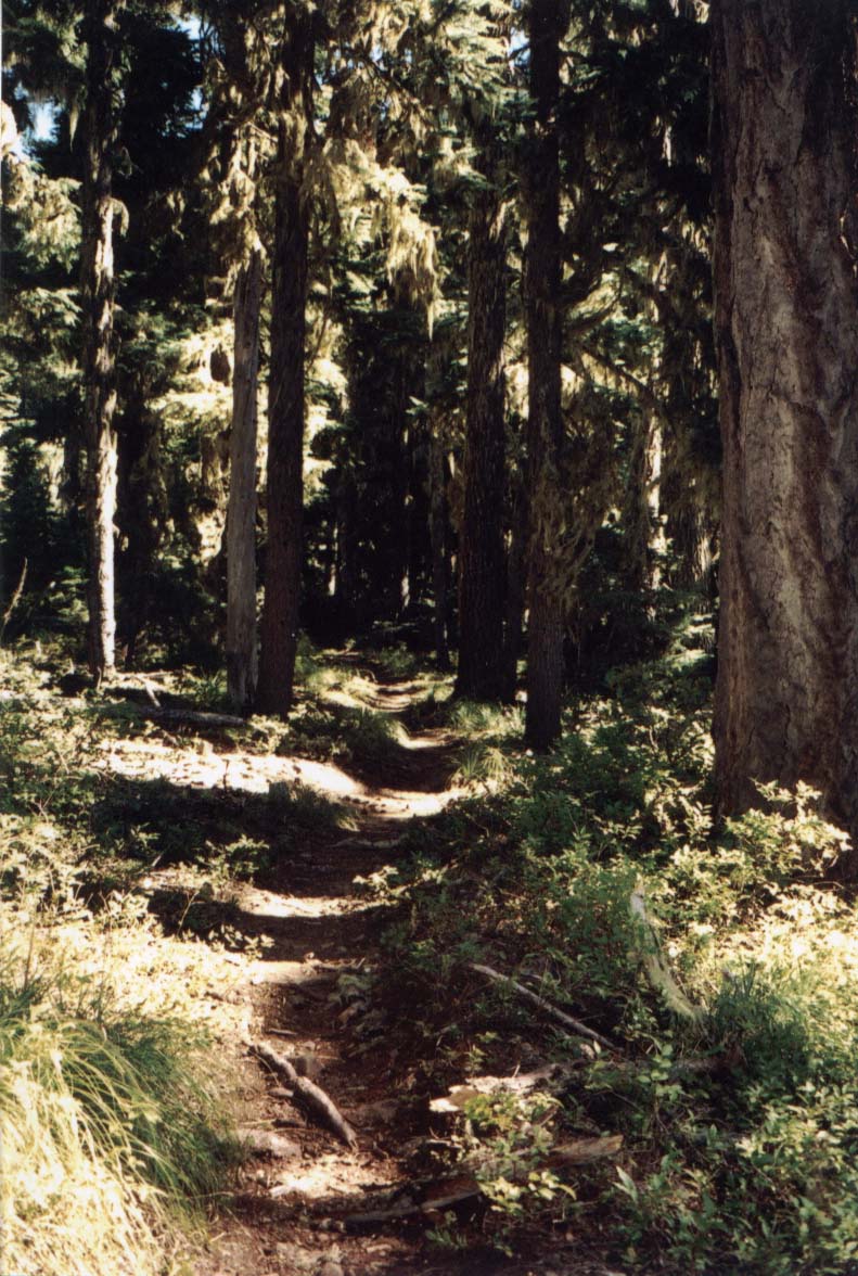
In late August 2005, I walked Section F as part of a longer hike from Highway 138 to Mt. Hood. I walked the beginning of this section with my friend, Paul, who had met me in Section E. I skipped the first 13.4 miles because I needed to go into Sisters for medication. In late afternoon, I met Paul, who did walk the first part of this section, at Old Santiam Wagon Road and we spent the night adjacent to the Santiam Highway (Highway 20) trailhead. We also camped at Rockpile Lake and Russell Creek and Paul finished his walk at Olallie Lake where his wife brought me my final resupply. Just before and just after Olallie Lake, huckleberries were growing along the trail. After being resupplied, I continued alone camping at Head Lake, a little ways north of Chinquapin Viewpoint, the south shore of Timothy Lake, and adjacent to the Highway 26 Wapinitia Pass trailhead near Frog Lake Campground. I reached Barlow Pass (Highway 35) in time for lunch. In August, 2009, I walked the initial section that I had skipped as a day hike.The photos are arranged from south to north. As is apparent from the photos, Mt. Jefferson dominated this section.

Mt. Washington
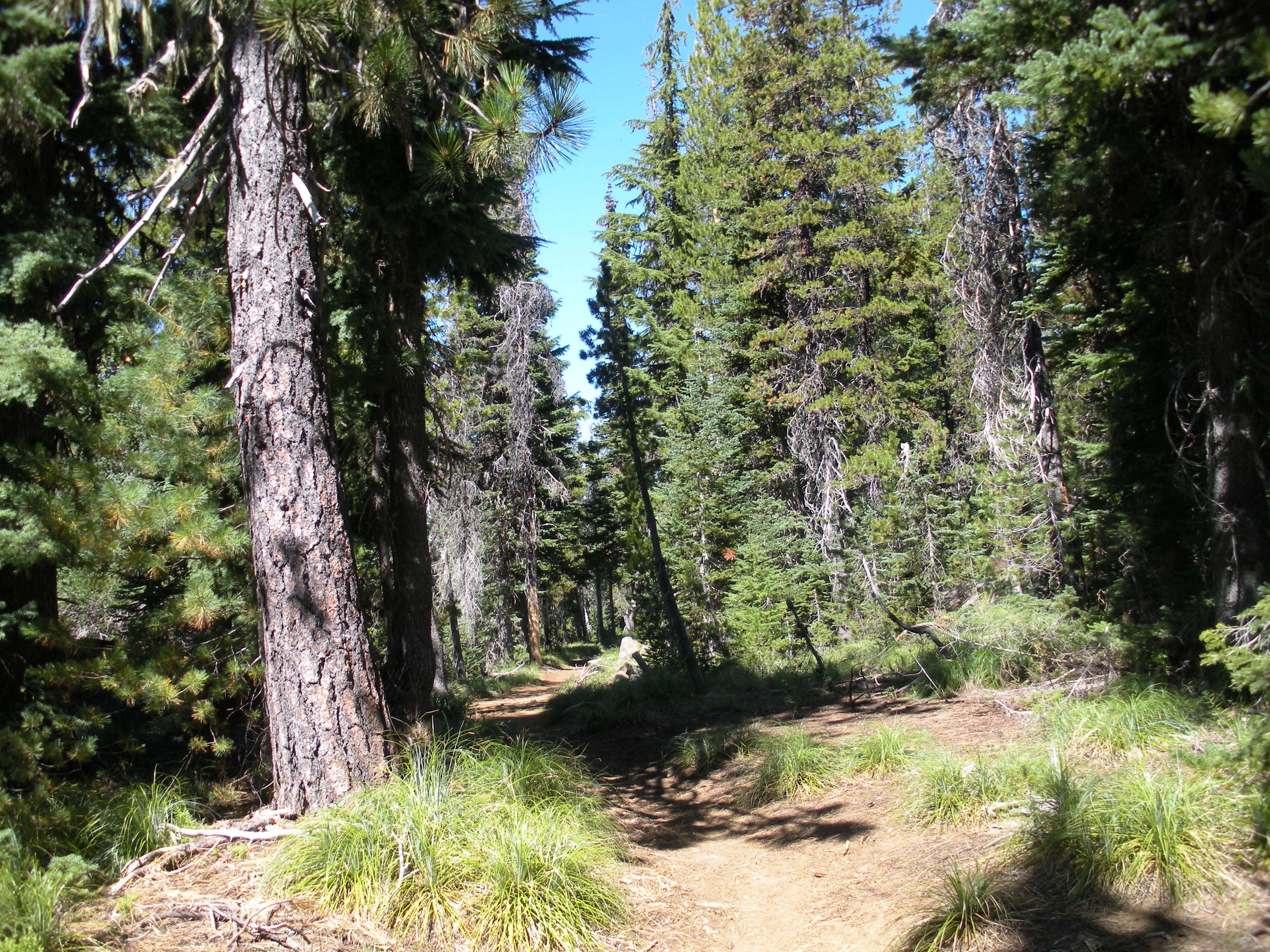

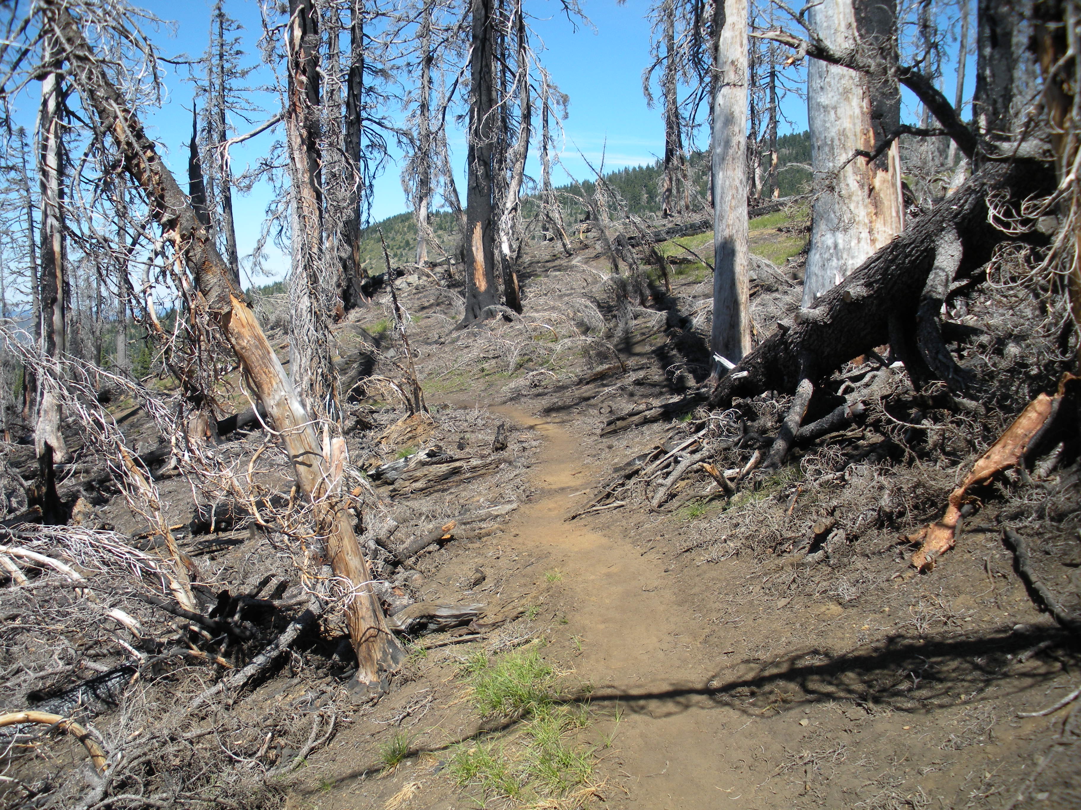
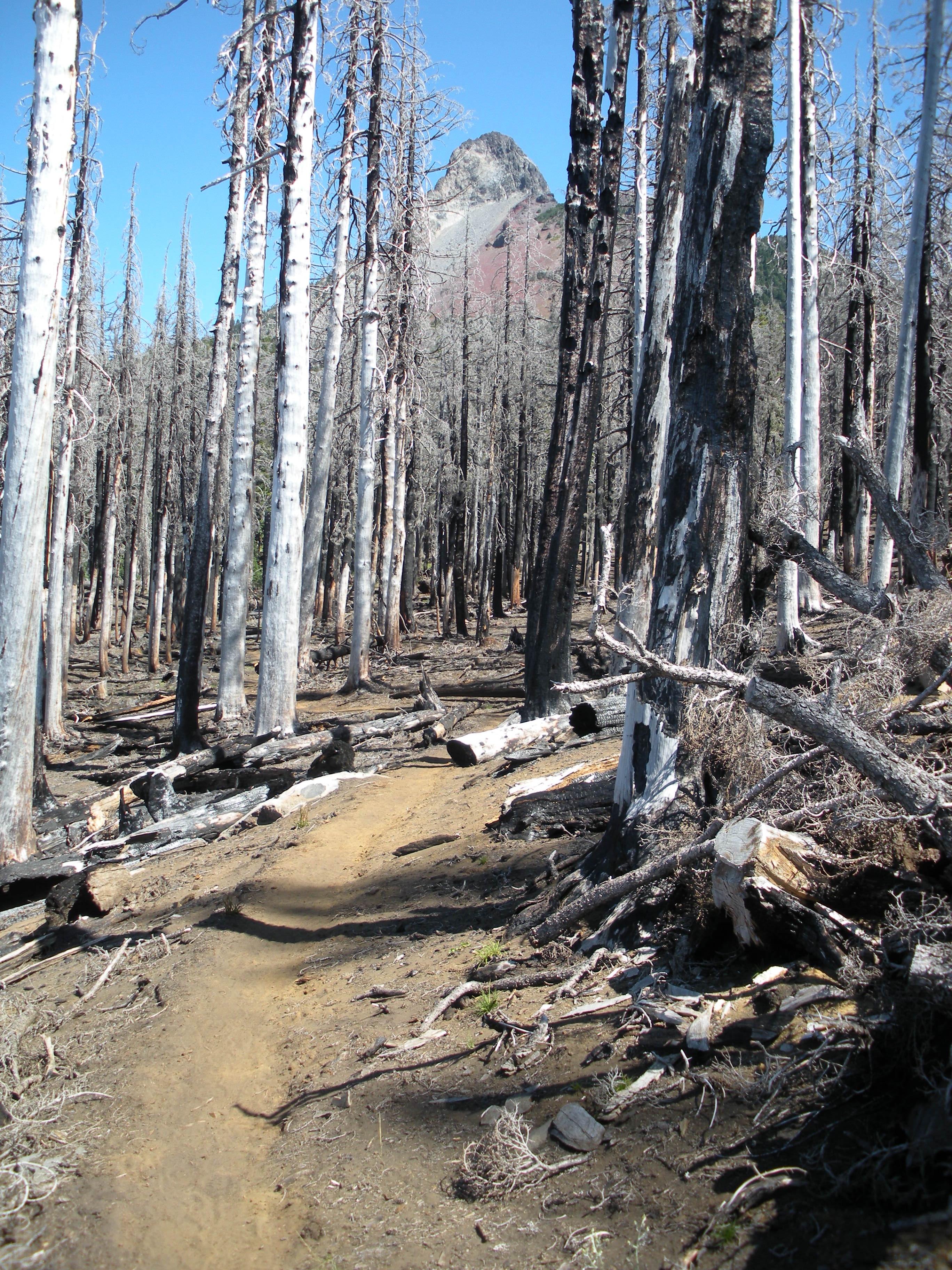
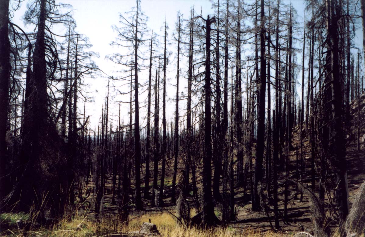
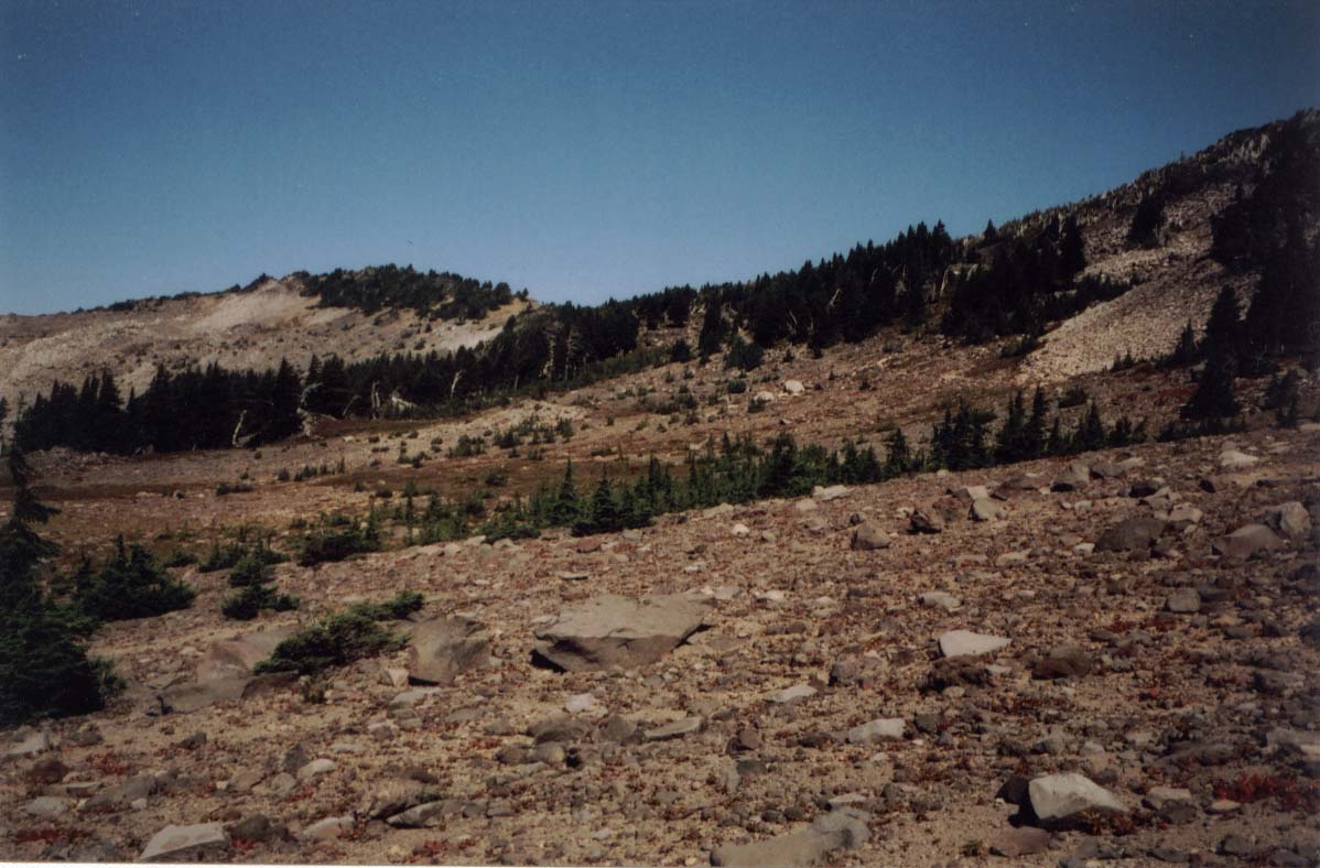
For the 20 miles north of Highway 20, we were in and out of (mostly in) a large 2003 burn area.
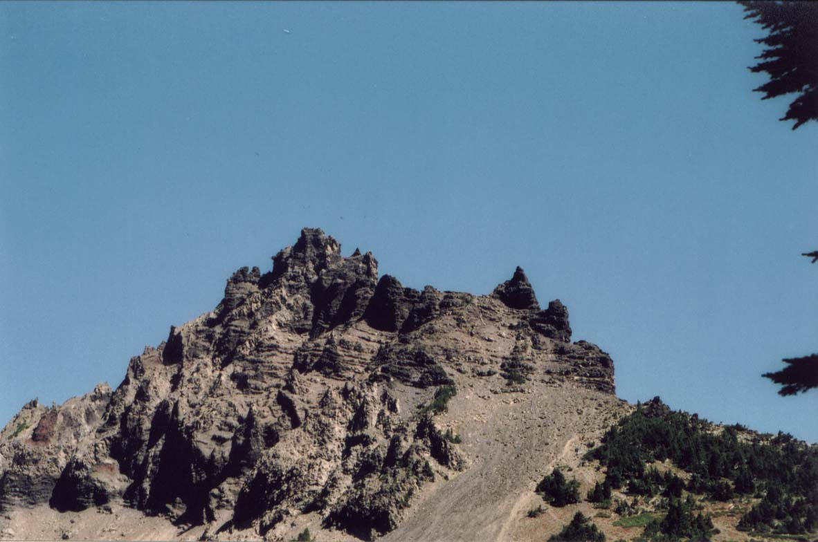
Three Fingered Jack

Mt. Jefferson
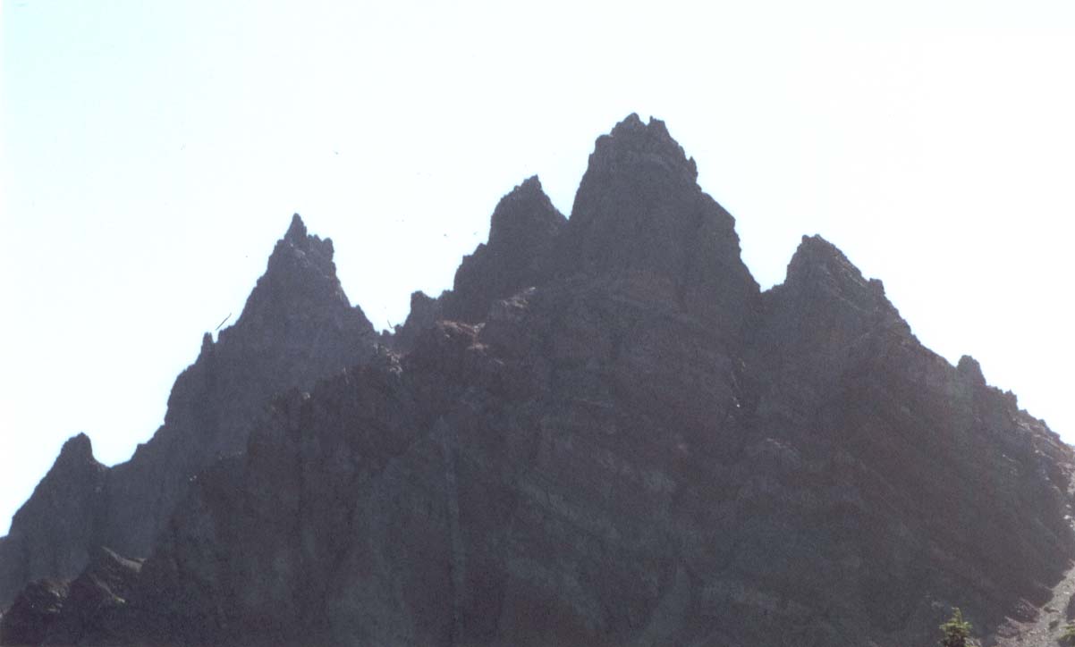
Three Fingered Jack (closer)

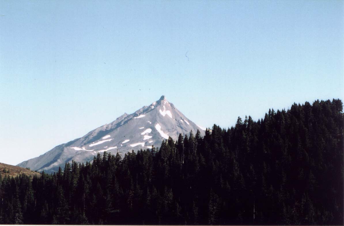
Mt. Jefferson

Mt. Jefferson
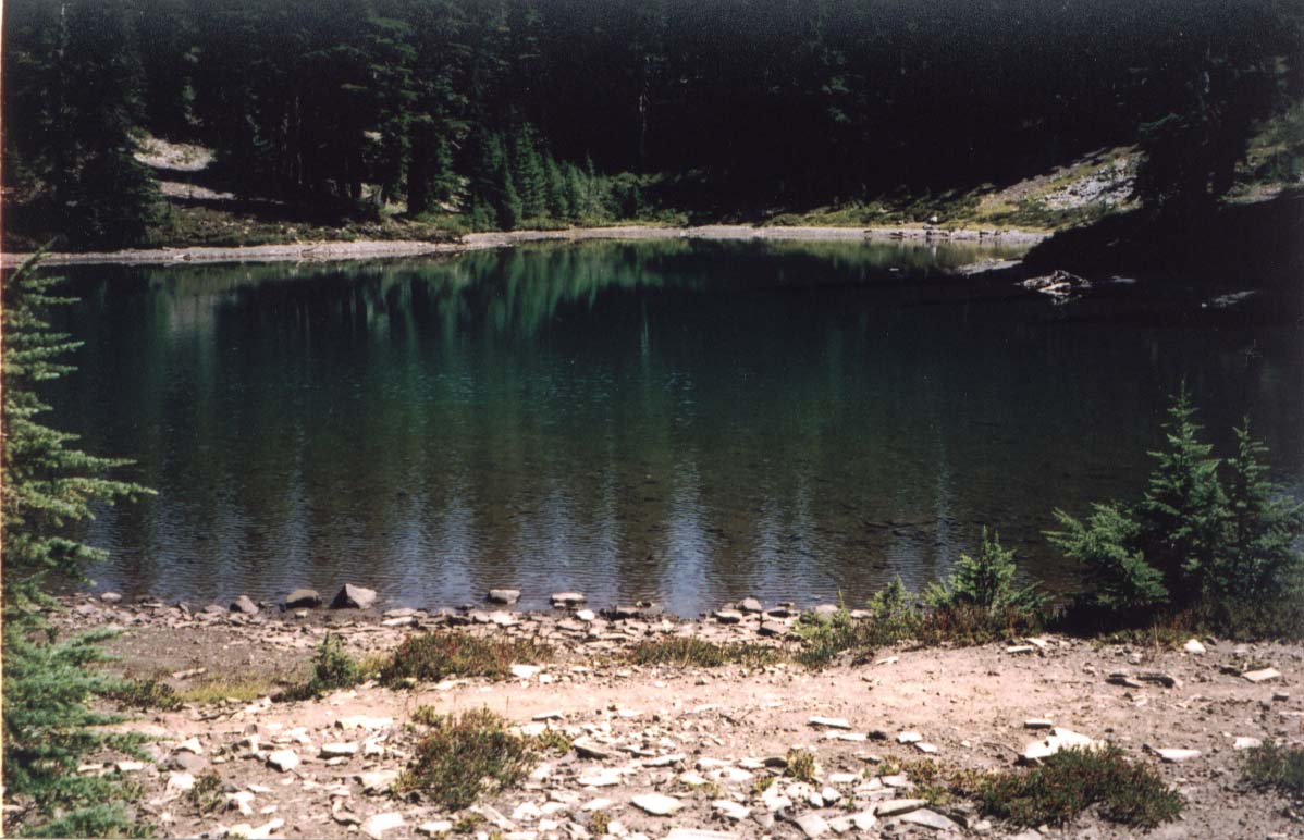
Shale Lake
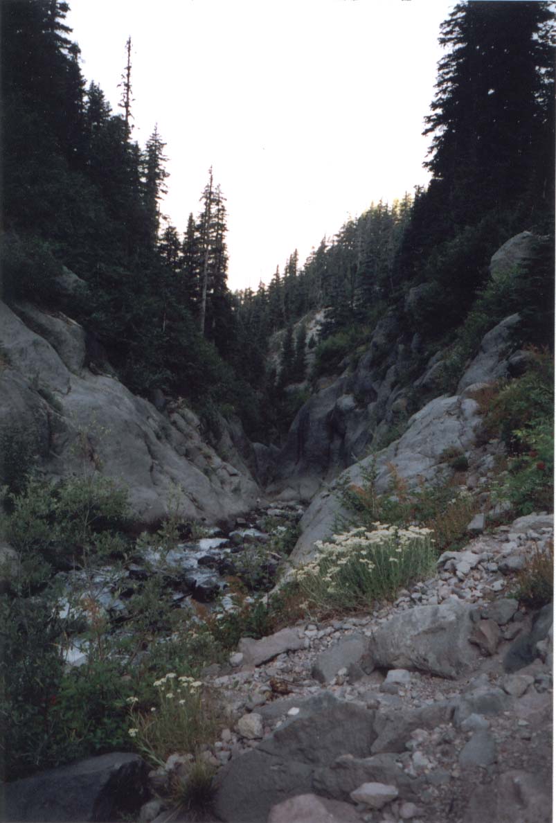
Russell Creek

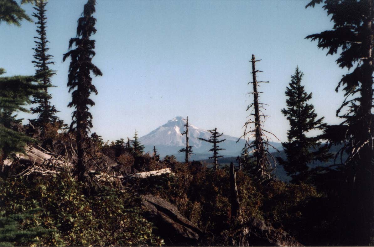
Mt. Jefferson