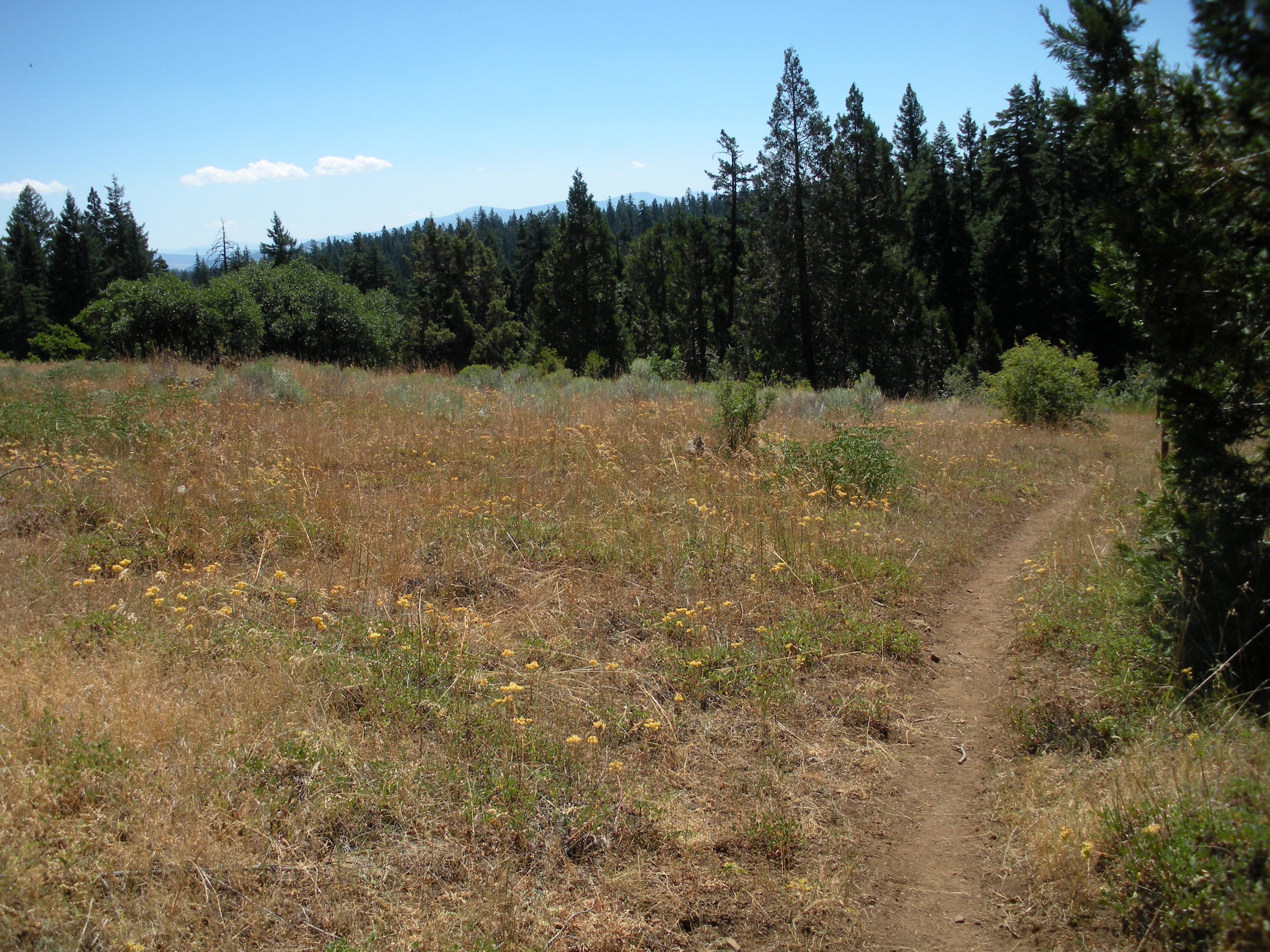
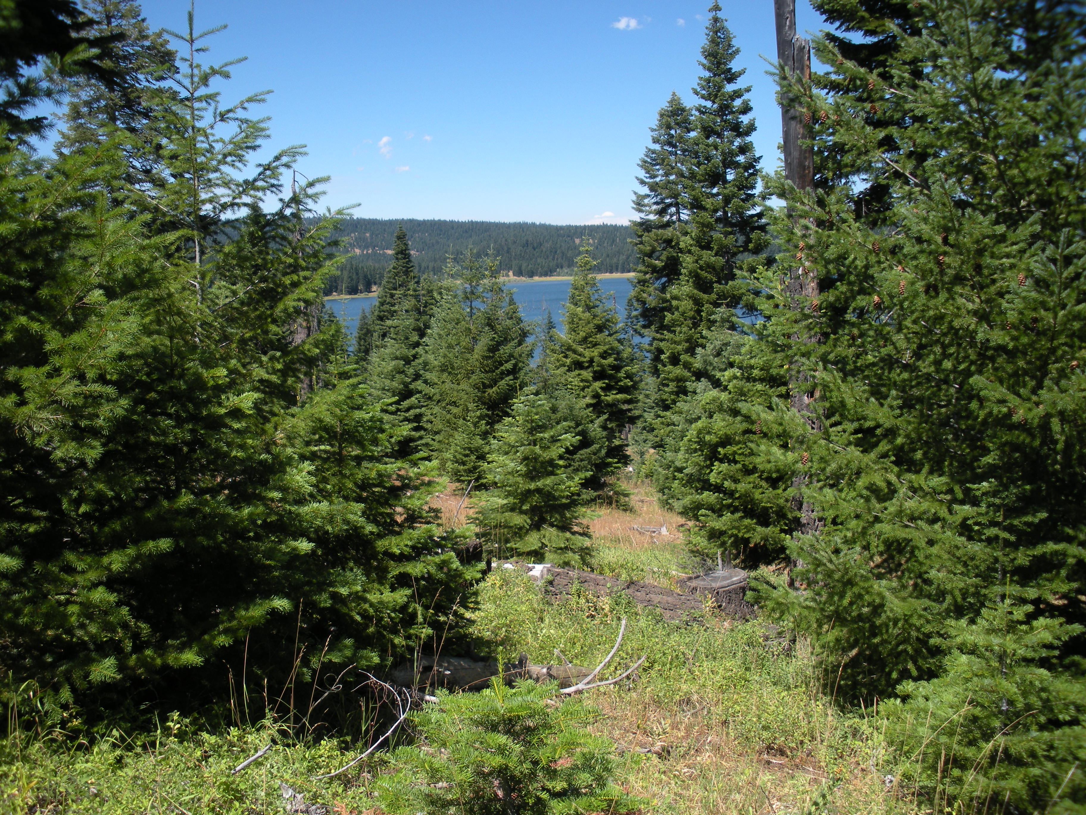
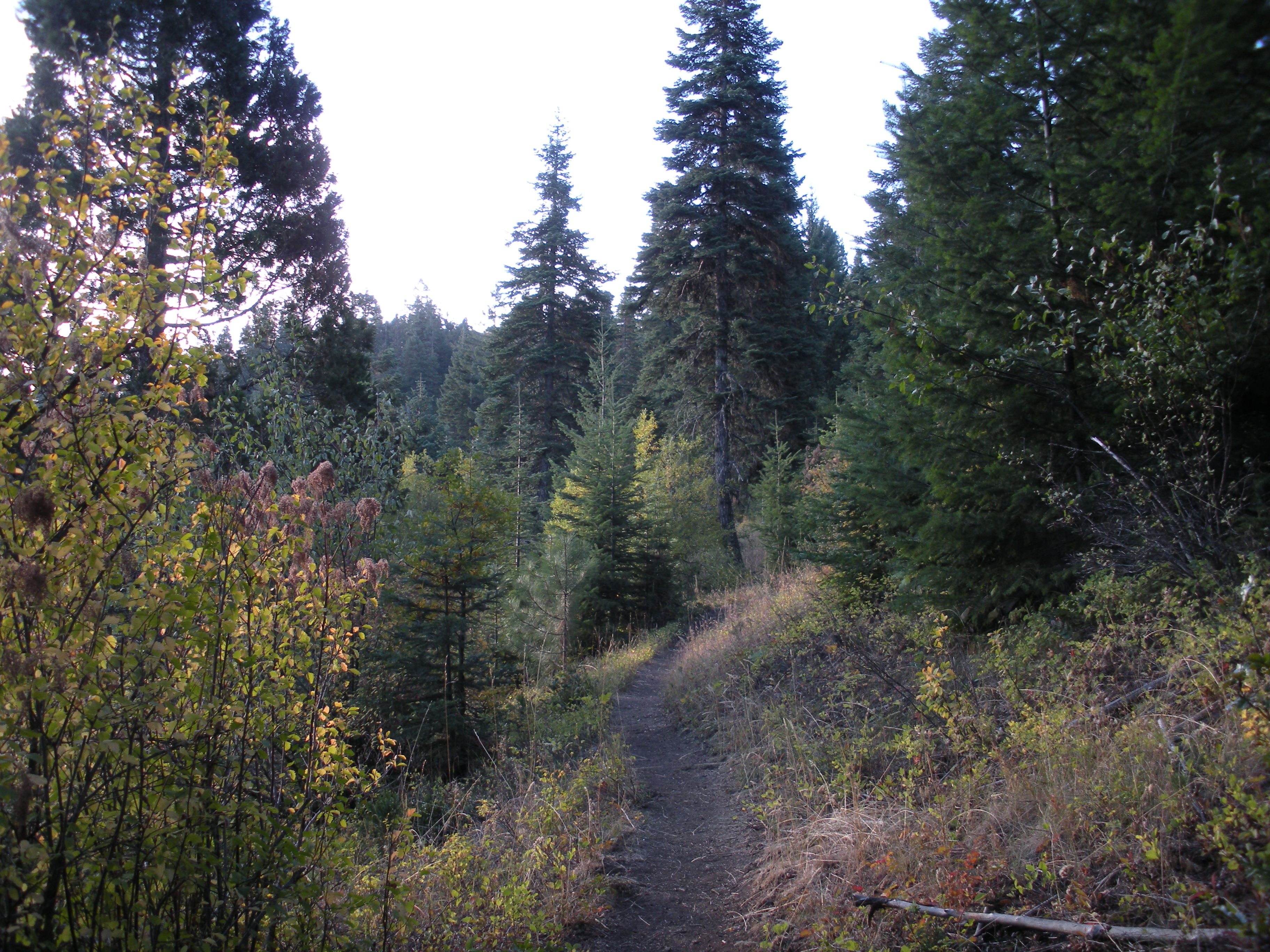
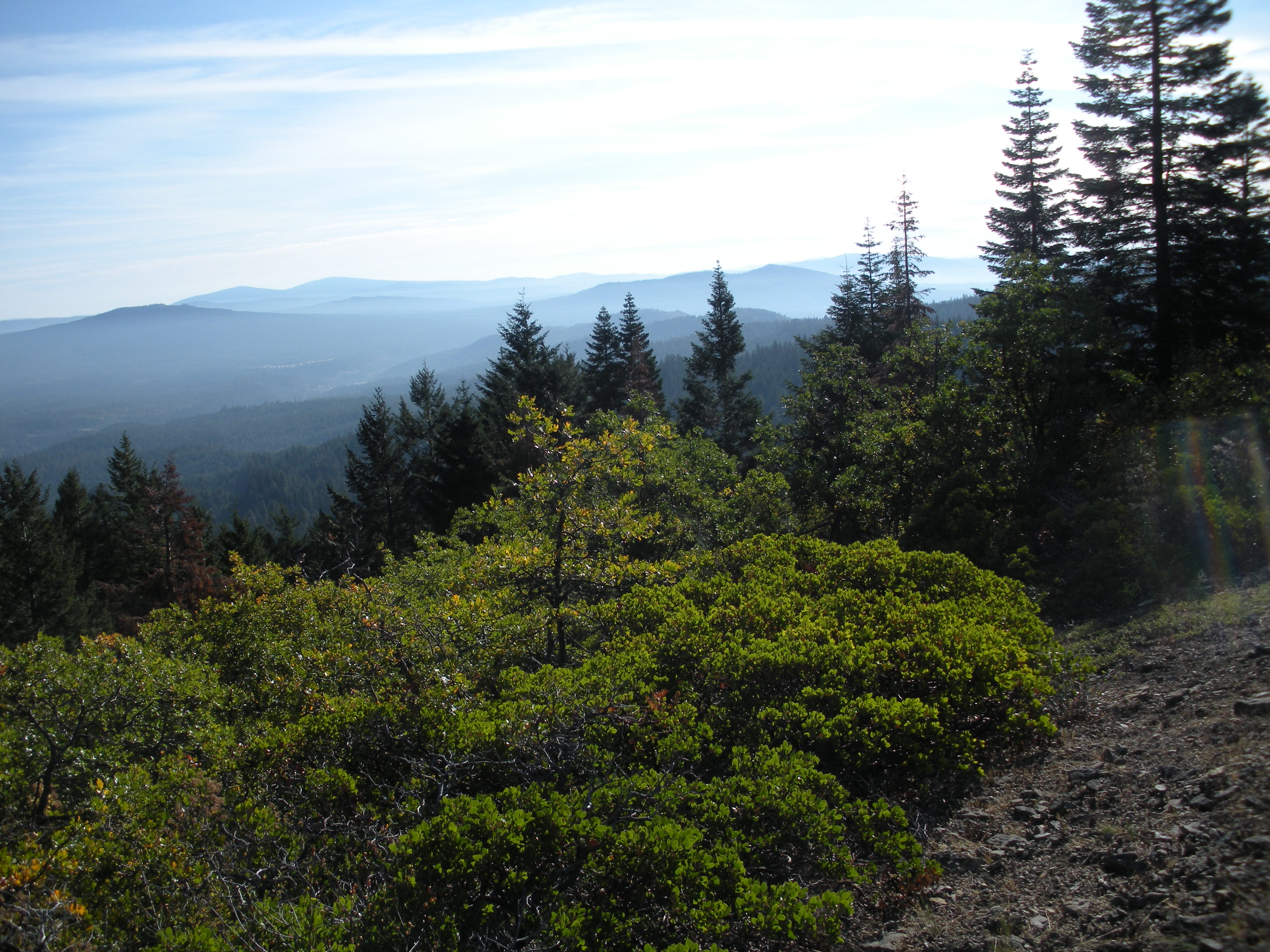
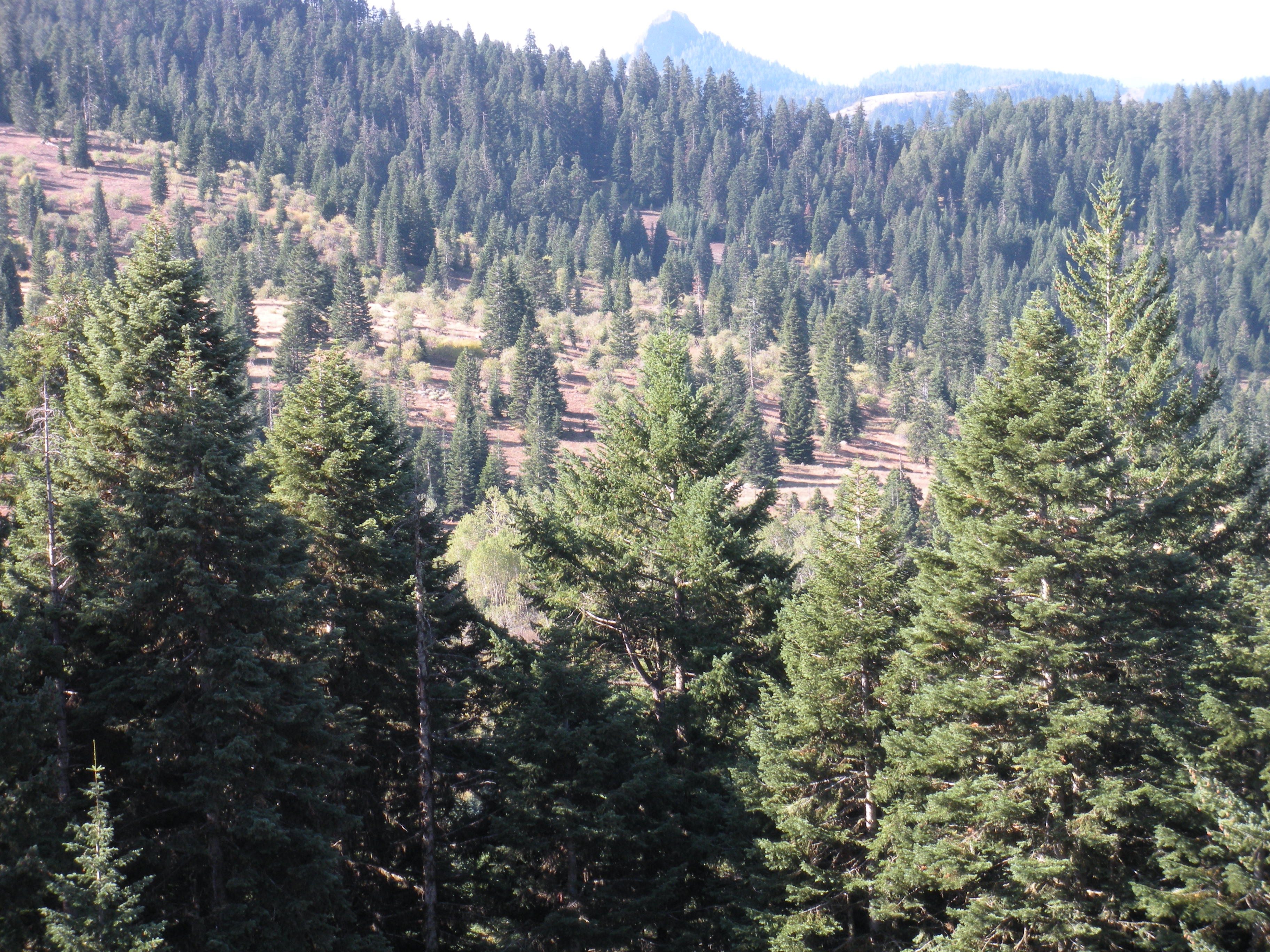
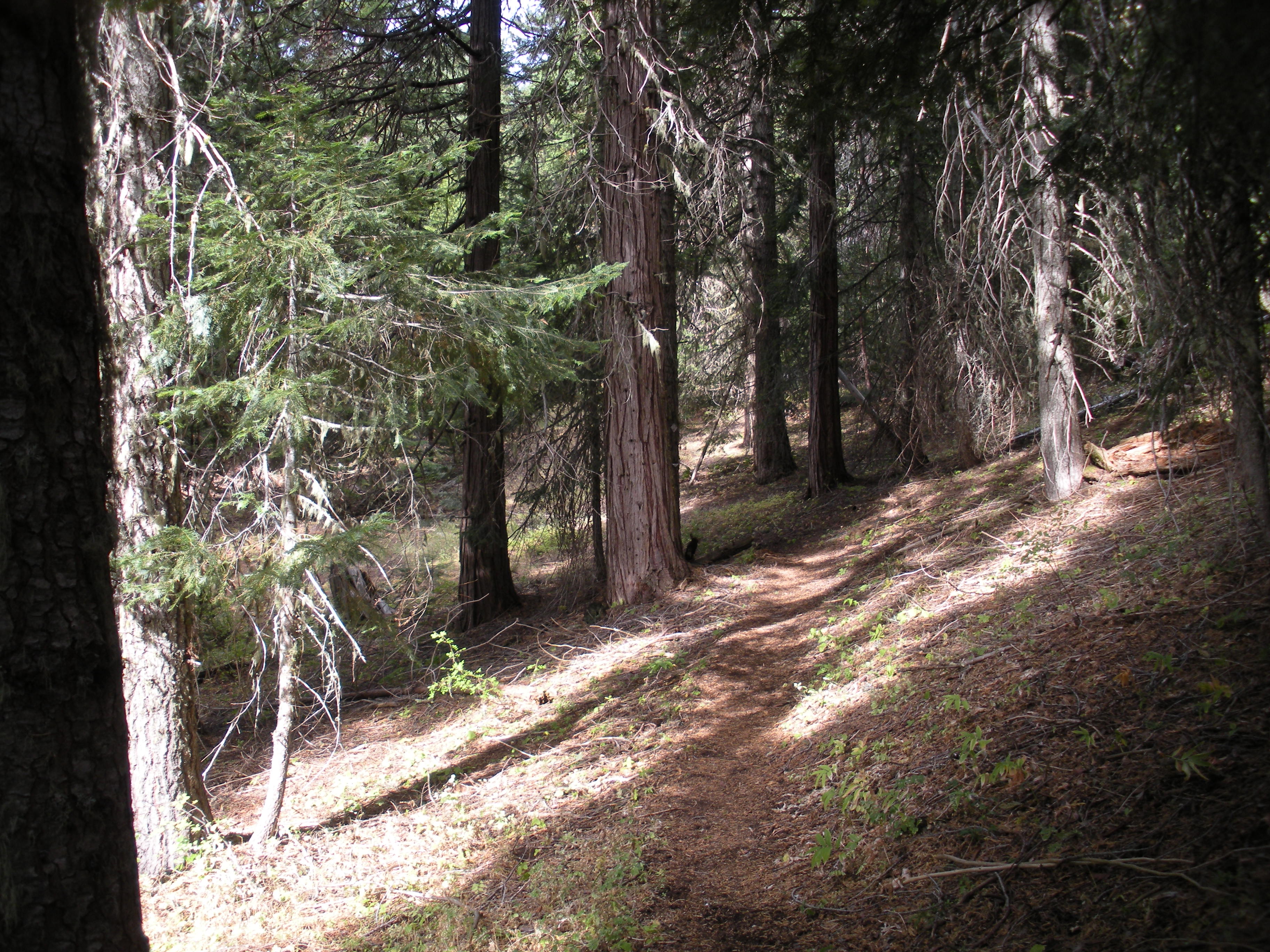
In June of 2008, I set out shortly after lunch from Highway 140 to walk this section over the next several days. I slept that night at South Brown Mountain shelter. The next morning I crossed Dead Indian Road and ran into snow and lost the trail. This hike was aborted and I subsequently did the majority of this section as day hikes. One morning in October of 2009, I walked from Dead Indian Road to Road 3802. Two days later, I walked from Keno Access Road to Road 3802. In August of 2010, I walked from Keno Access Road to Highway 66. In October of 2010, I walked from Highway 66 to Old Highway 99. The scenery and terrain varied and was very interesting with forest walks and open views interspersed. The photos reflect seasonal variations in the flora and are arranged in order from North to South.

Mt. McLoughlin


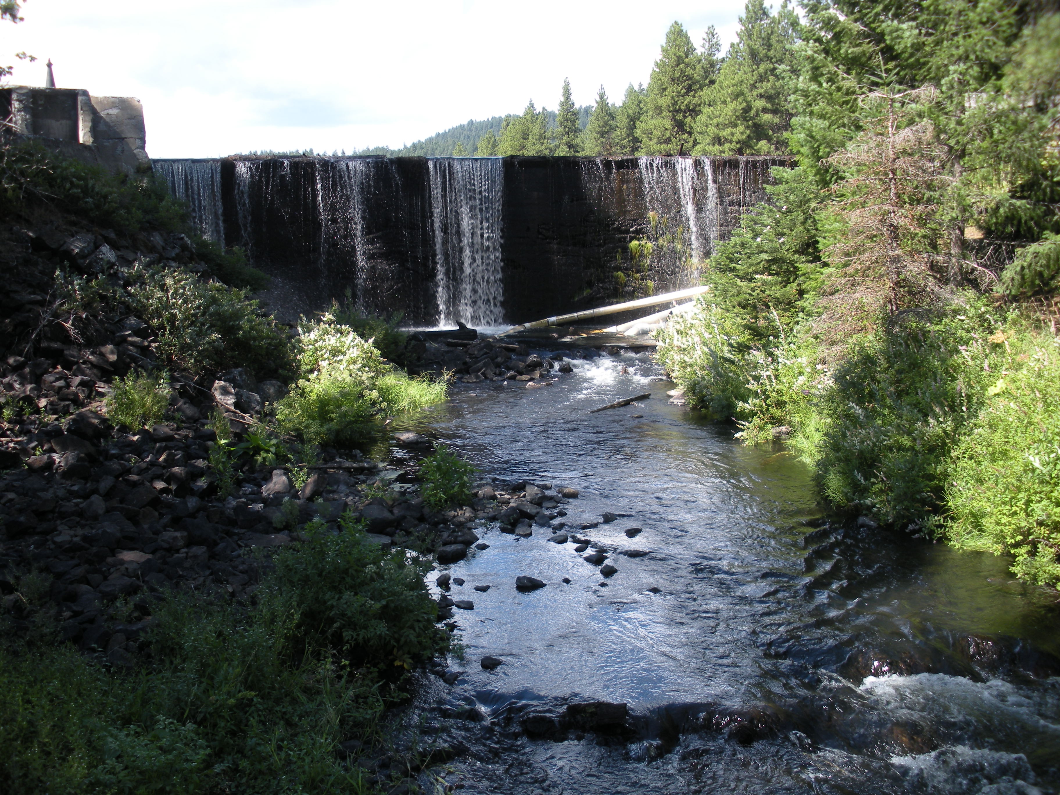
Little Hyatt Reservoir Dam
Just South of Highway 66
Looking East
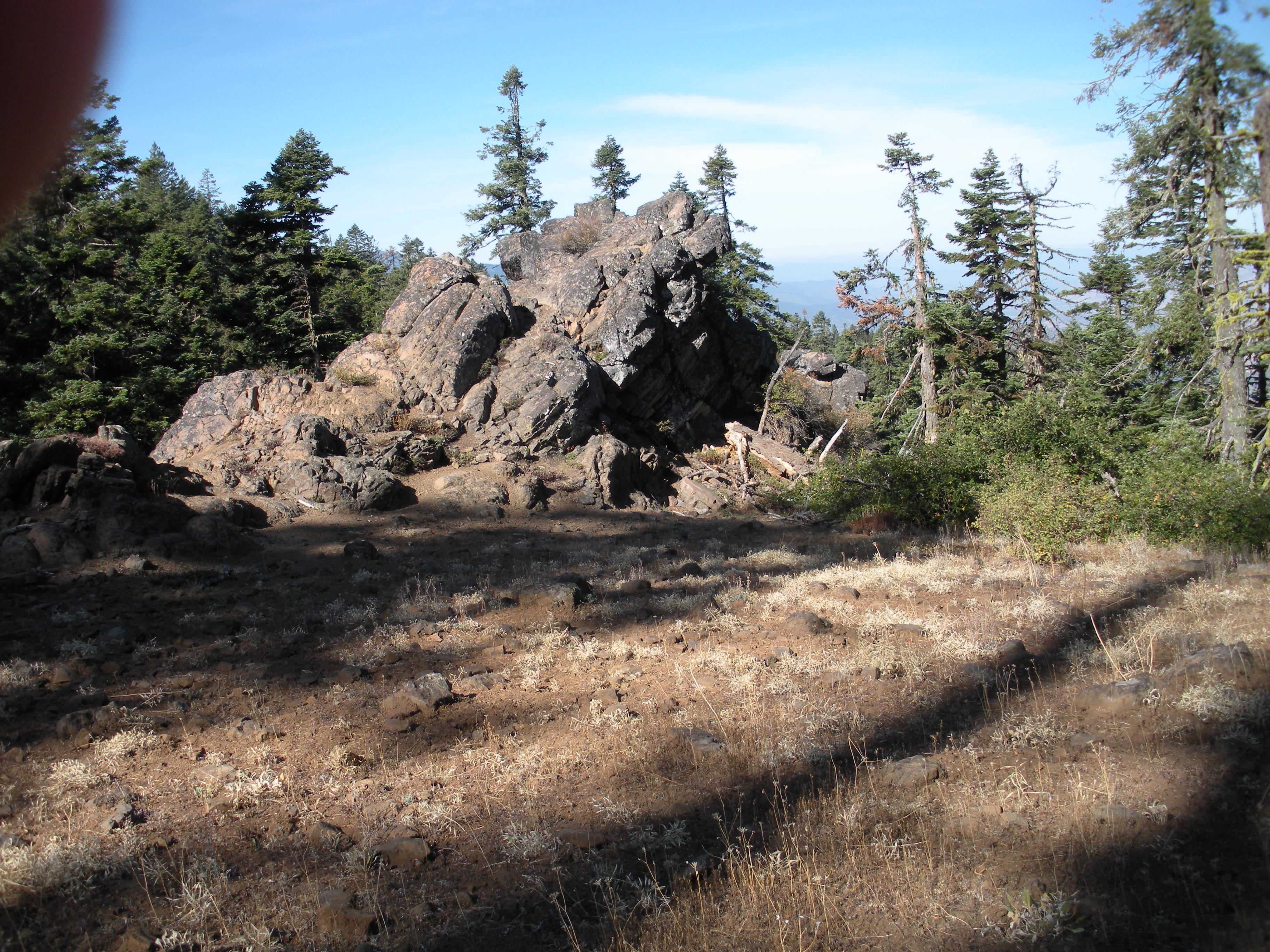

Pilot Rock
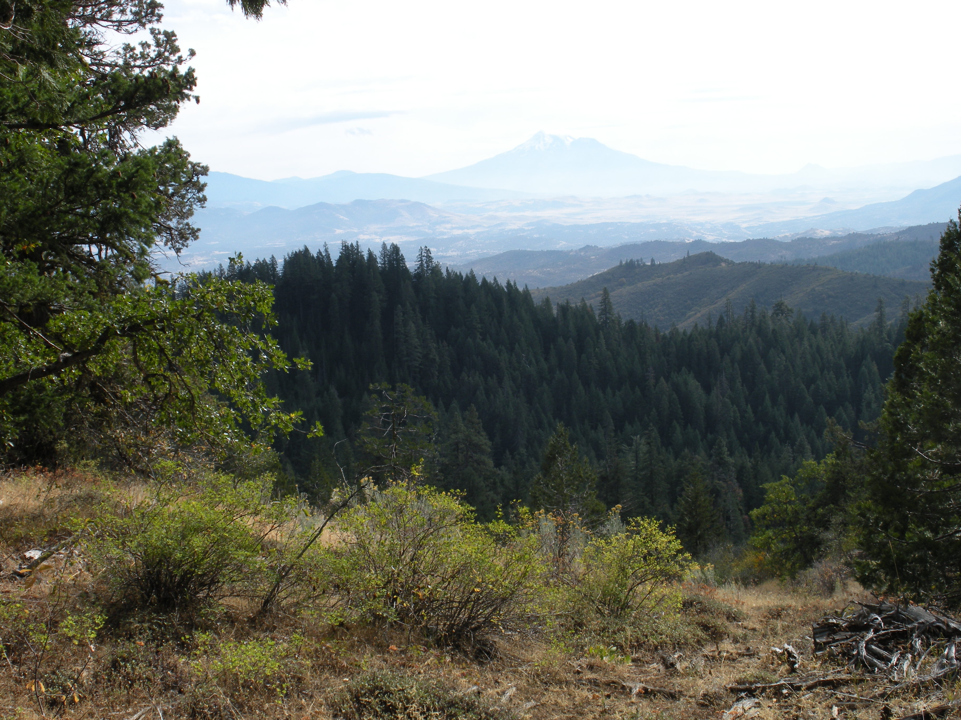
Mt. Shasta
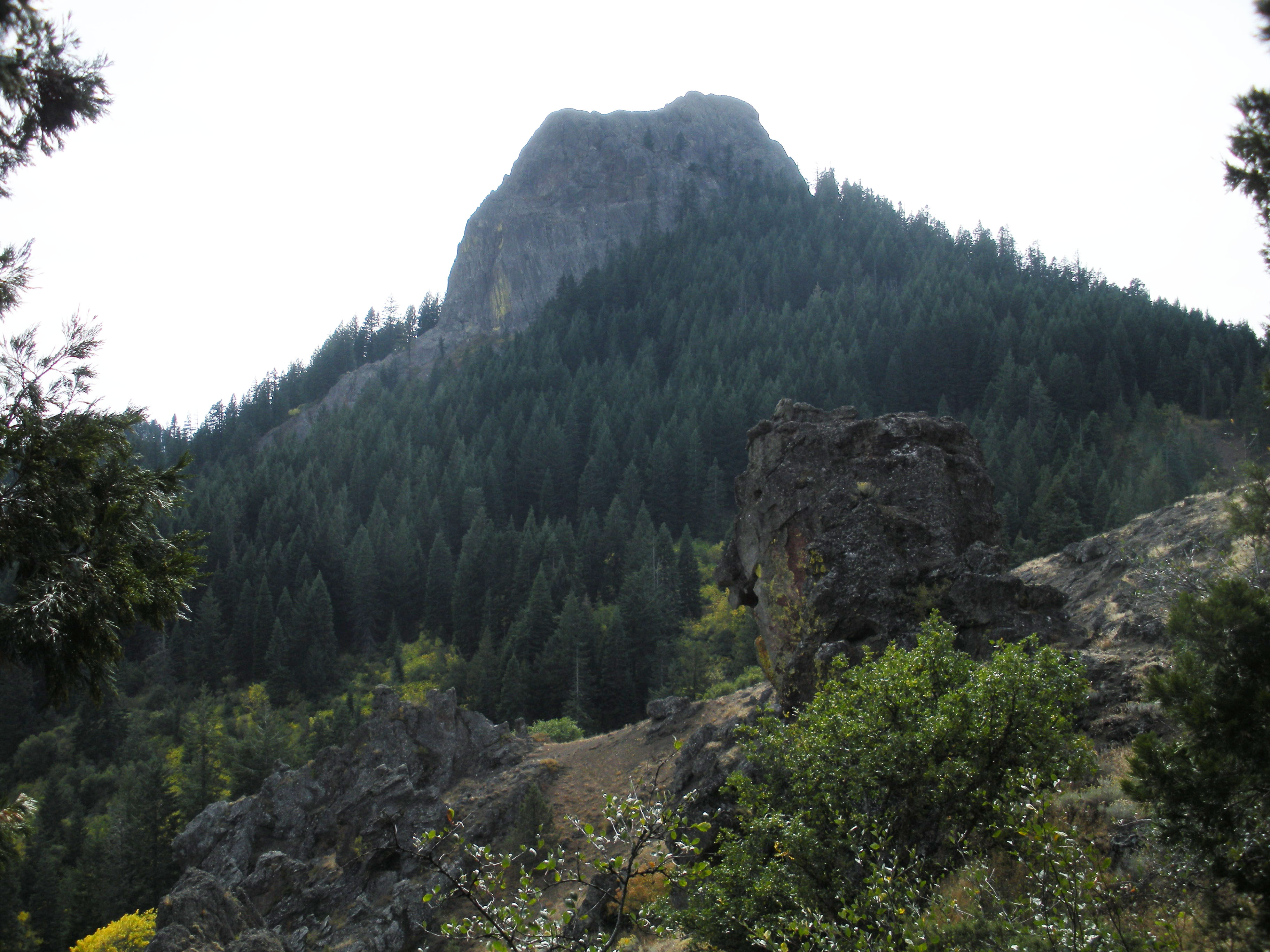
Closer to Pilot Rock