View from Lake Te Anau Control Gates
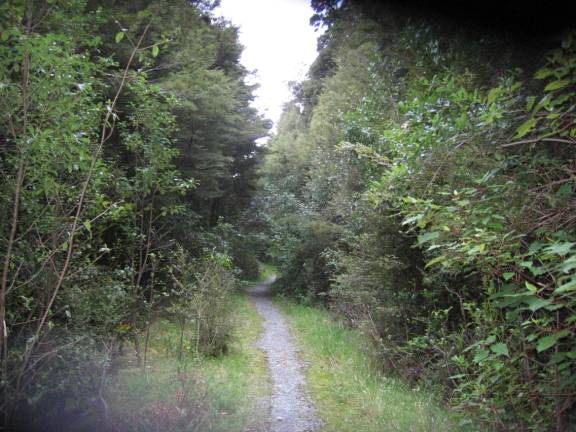
In January of 2002, Francia (my wife) and I, as part of a day hike, walked from the Lake Te Anau control gates to Dock Bay and back. In January of 2003, we walked, as a day hike, from the control gates to Limestone Bluffs and back. In February of 2004, I was scheduled to walk the whole track, but bad weather above bushline caused me to change plans. I walked from Rainbow Reach to Iris Burn Hut and spent the night there. The next day I walked to The Lookout and back to Iris Burn Hut and spent that night there also. DOC had been threatening to close the alpine section but, in fact, they did not. The people who walked it said that it was windy and in a cloud and there were no views at all. (I did not miss much.) The next day, I walked back to Rainbow Reach and on to the control gates and into Te Anau. In January of 2006, I walked from the control gates to Luxmore Hut to Iris Burn Hut and on to Rainbow Reach. I spent nights at Luxmore and Iris Burn Huts. I did not repeat the Rainbow Reach to control gates portion of the track. I think it is the least interesting portion and I took no photos along that stretch when I did walk it. All the photos below are from 2006 except for two from 2004. They are labeled. The first photos are along the flat stretch to Brod Bay.
View from Lake Te Anau Control Gates
Brod Bay
From Brod Bay, the track goes upward to Luxmore Hut.
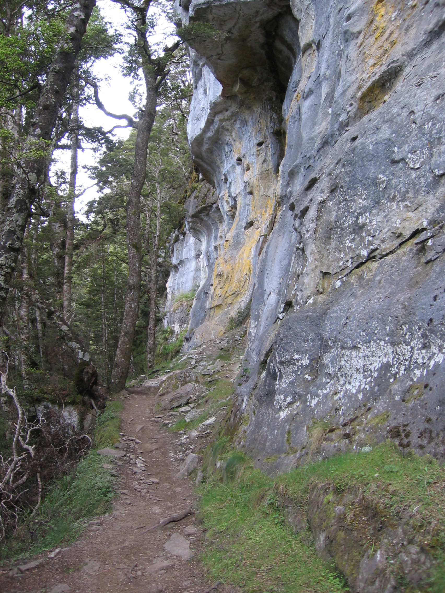
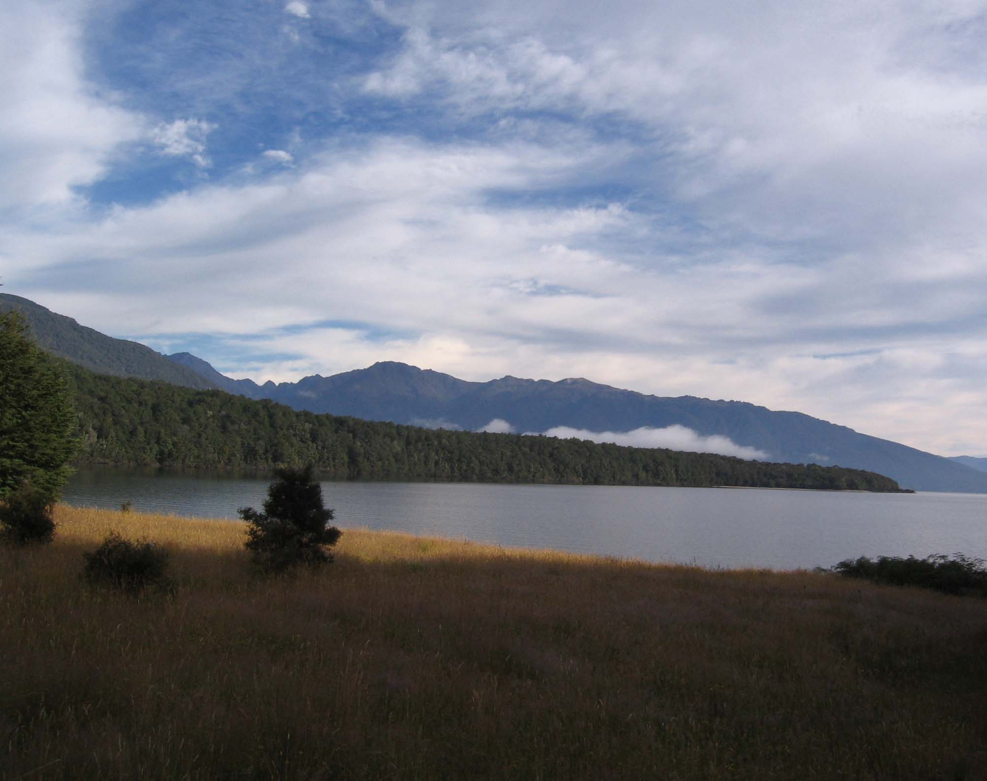
Limestone Bluffs
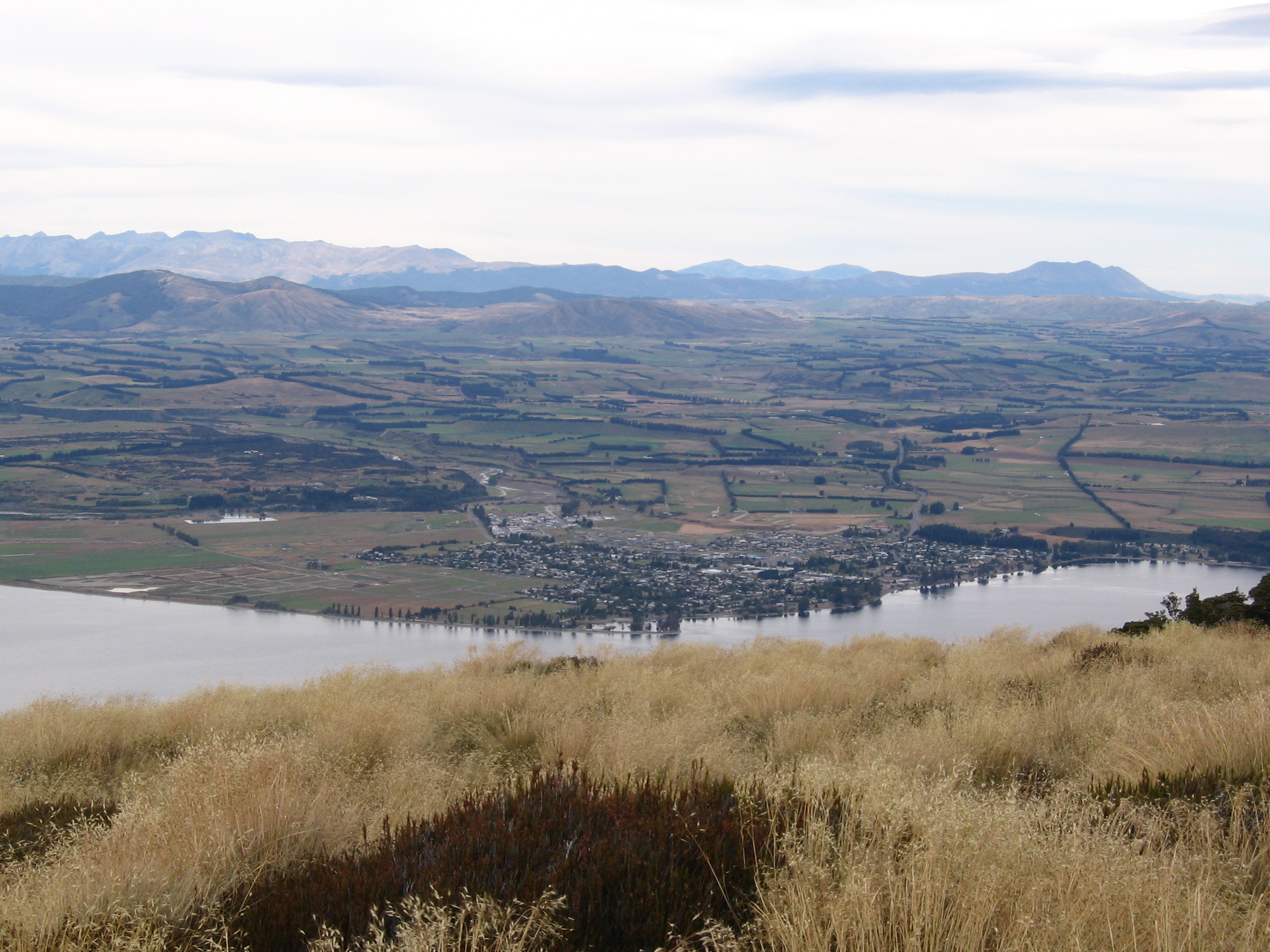
Te Anau
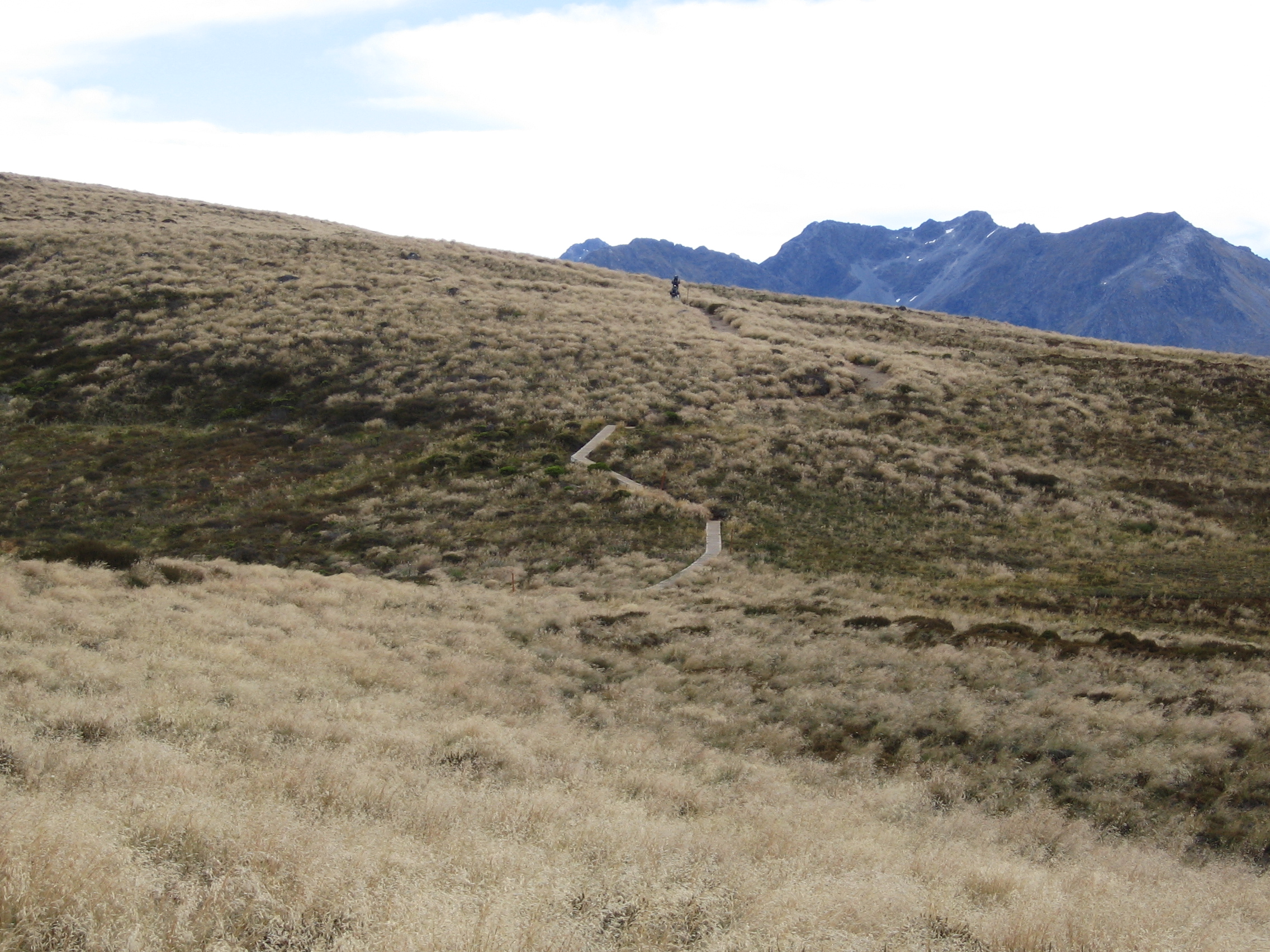
Above Bushline, Heading for Luxmore Hut
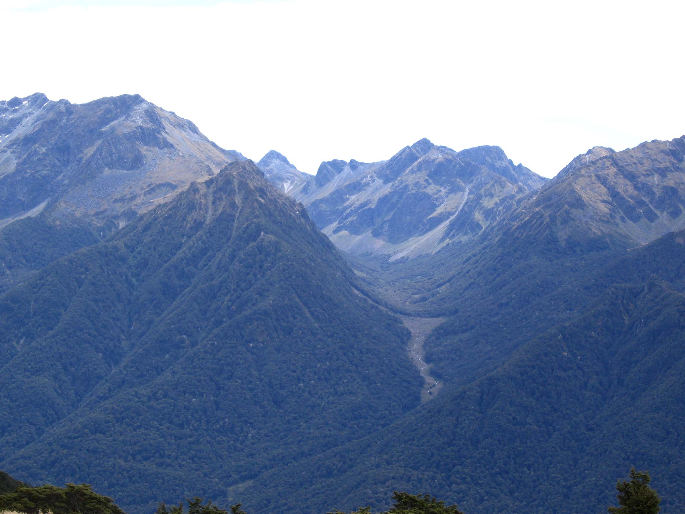
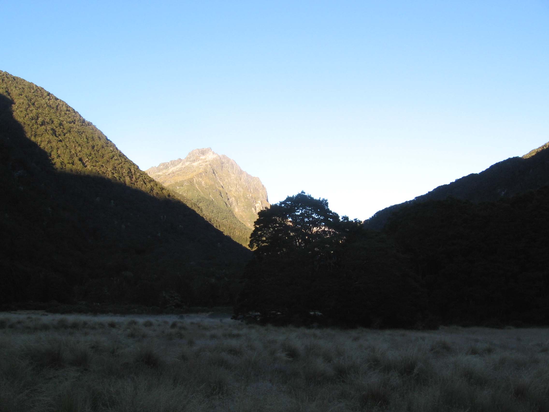
Murchison Mts.
At the start of the second day, it was rainy and there were very strong winds requiring a significant effort to walk straight and stay on the track! They were strongest at the point where there is a side track to the summit of Mt. Luxmore. Know one that I spoke with, took that short (10 minute) side trip, for fear of being blown off the ridge that it follows. There were also clouds moving around in the area making the views sporadic, but interesting. I did not get many photos in the alpine area because of these factors. The wind and rain abated shortly after Forest Burn Shelter. I thought that the section between Forest Burn and Hanging Valley shelters was the most interesting of the alpine portion of the track. However, I was having difficulties with my camera and did not get many photos there.
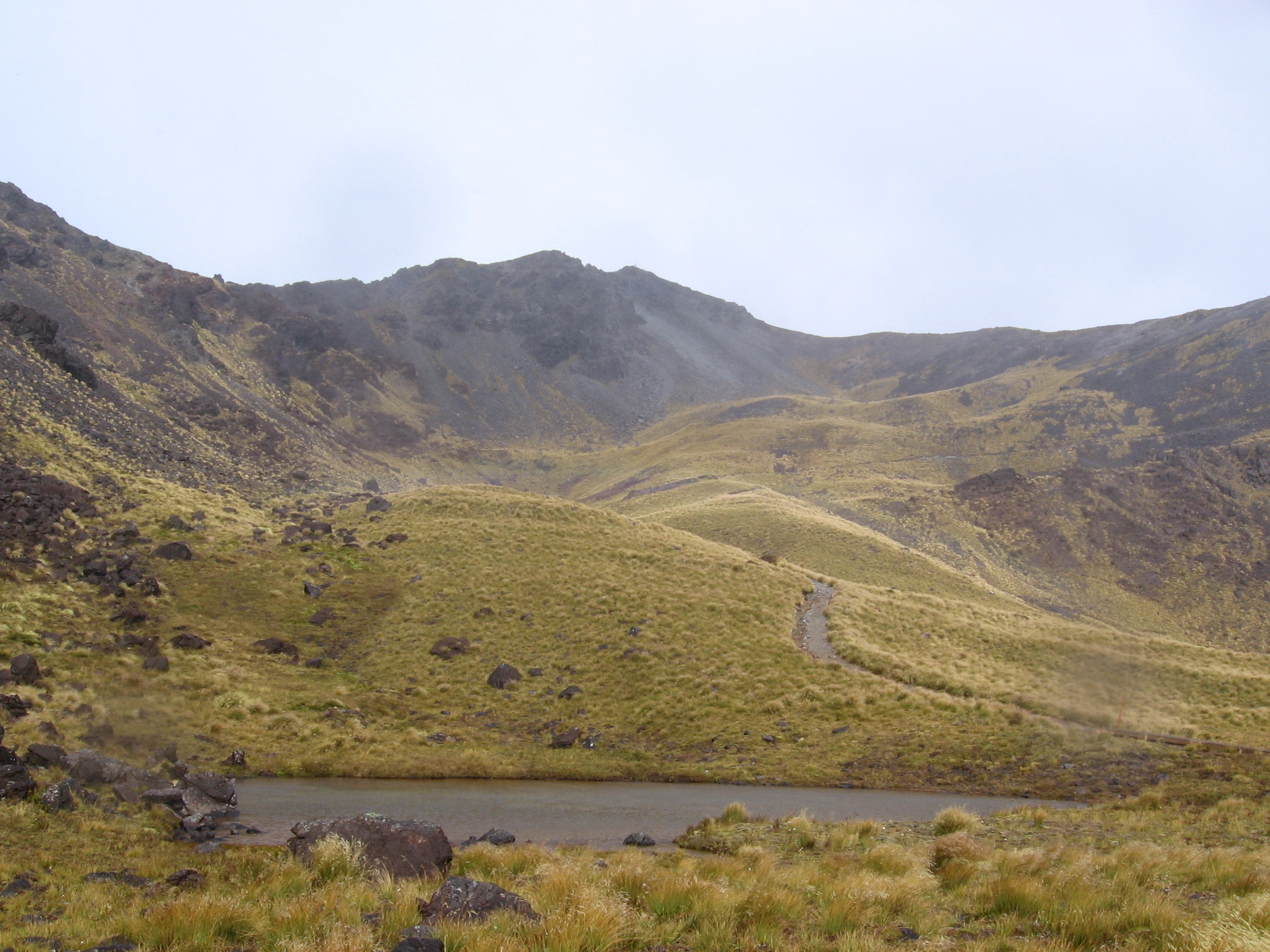
Tarn Alongside Track
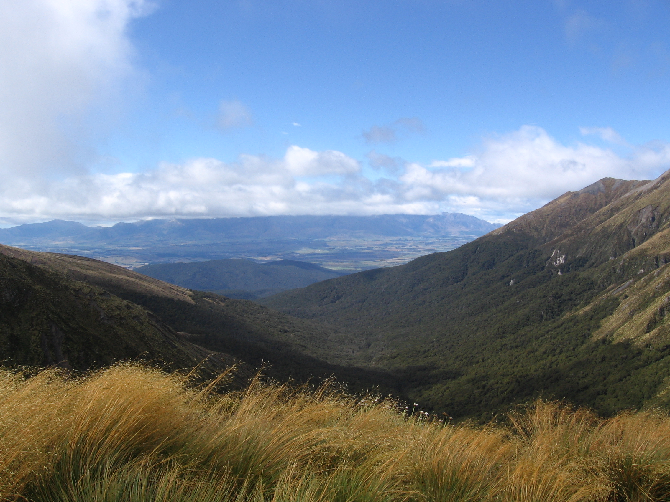
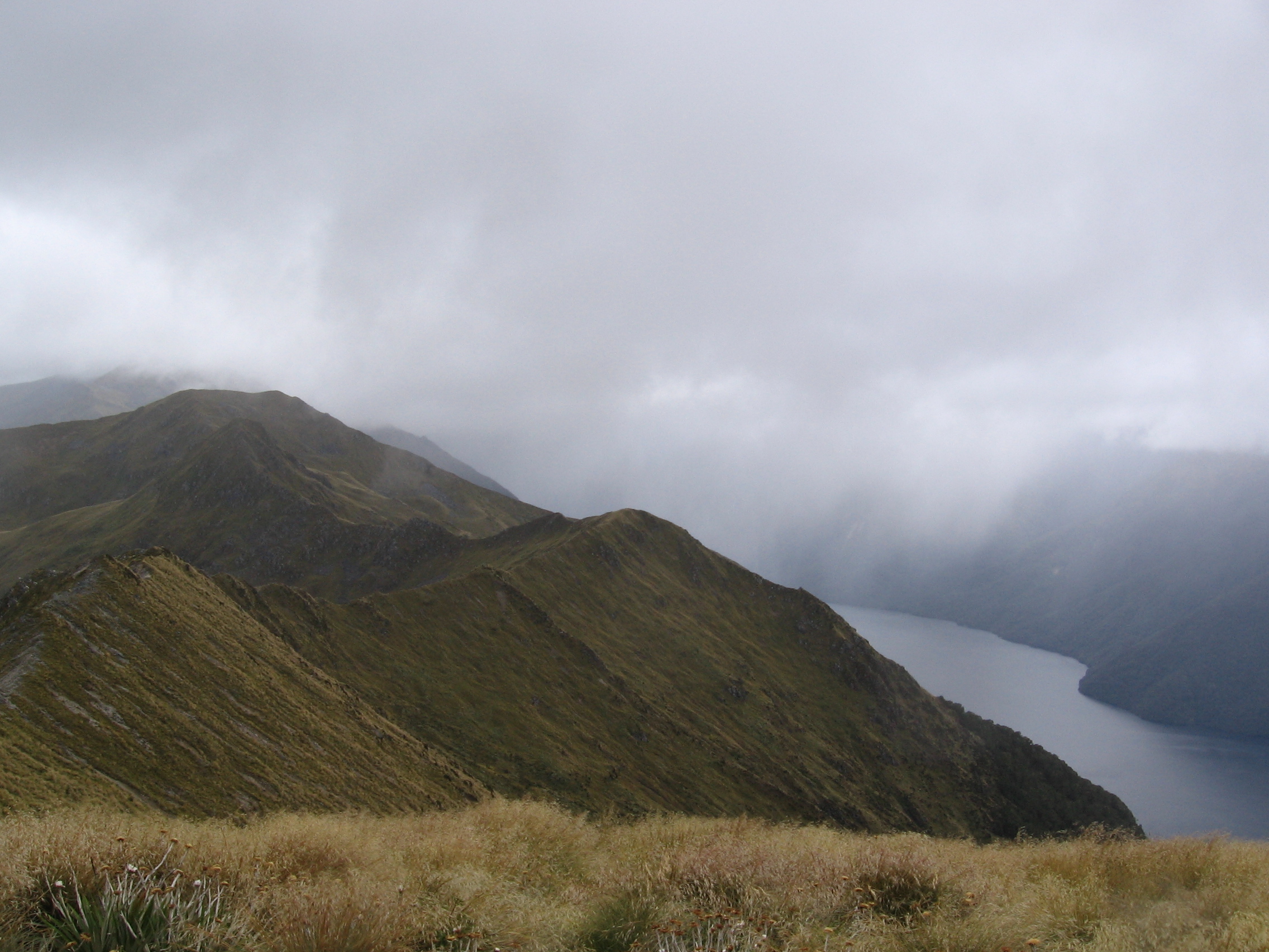
South Fiord of Lake Te Anau
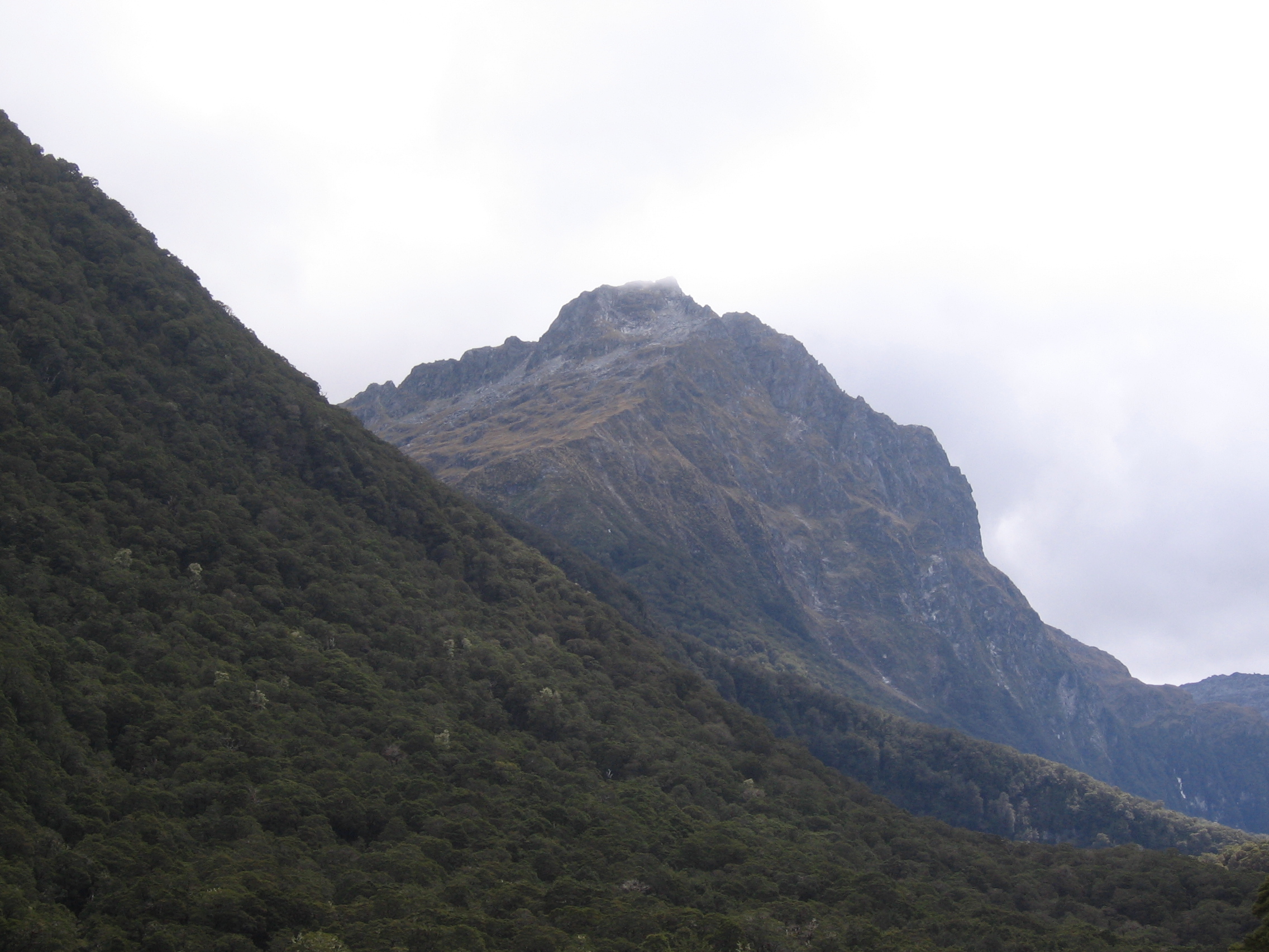
Mt. Luxmore
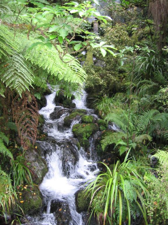
In mid-afternoon I reached Iris Burn Hut after visiting Iris Burn Waterfall, located on a side track very close to the hut.
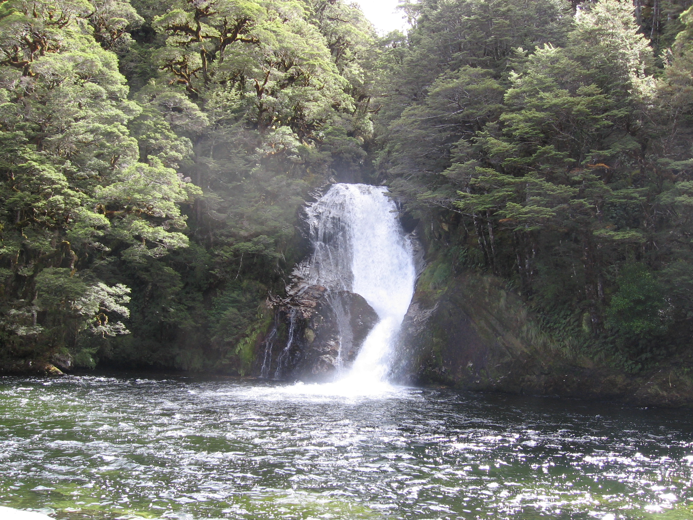
Iris Burn Waterfall
View from Iris Burn Hut
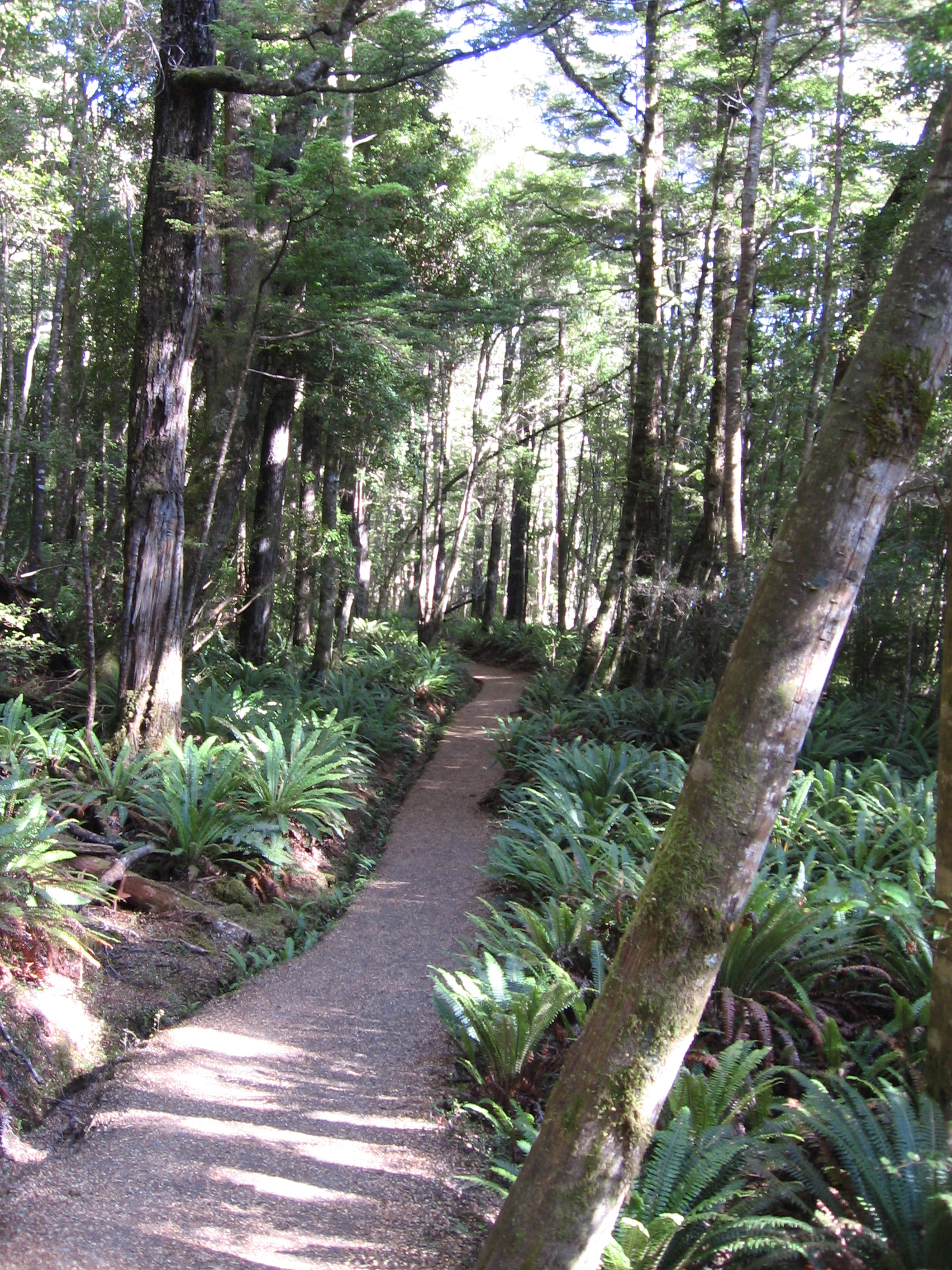
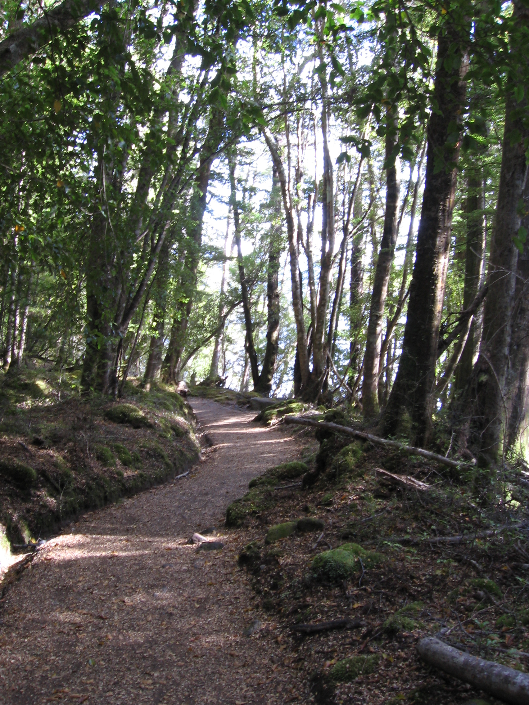
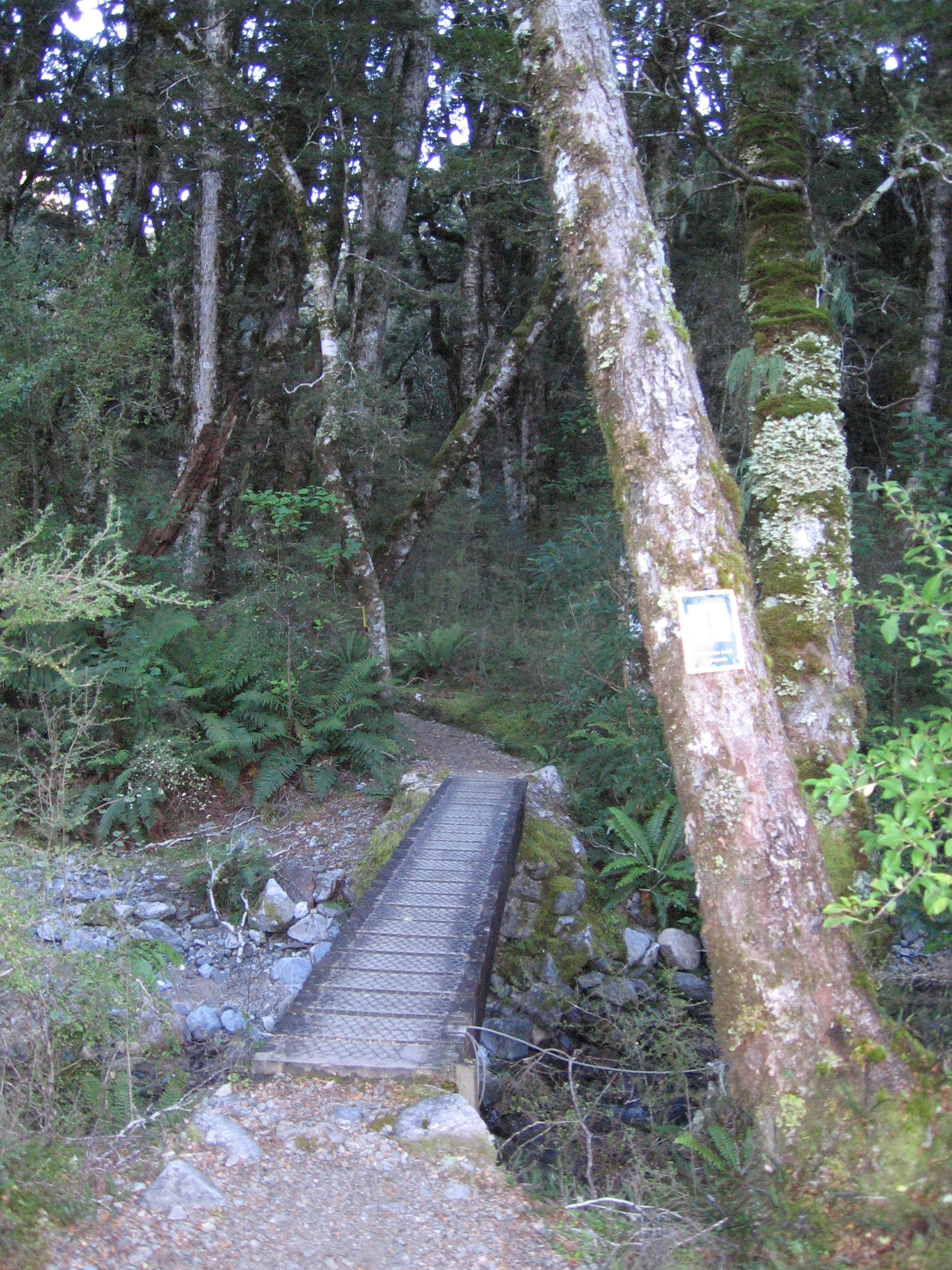
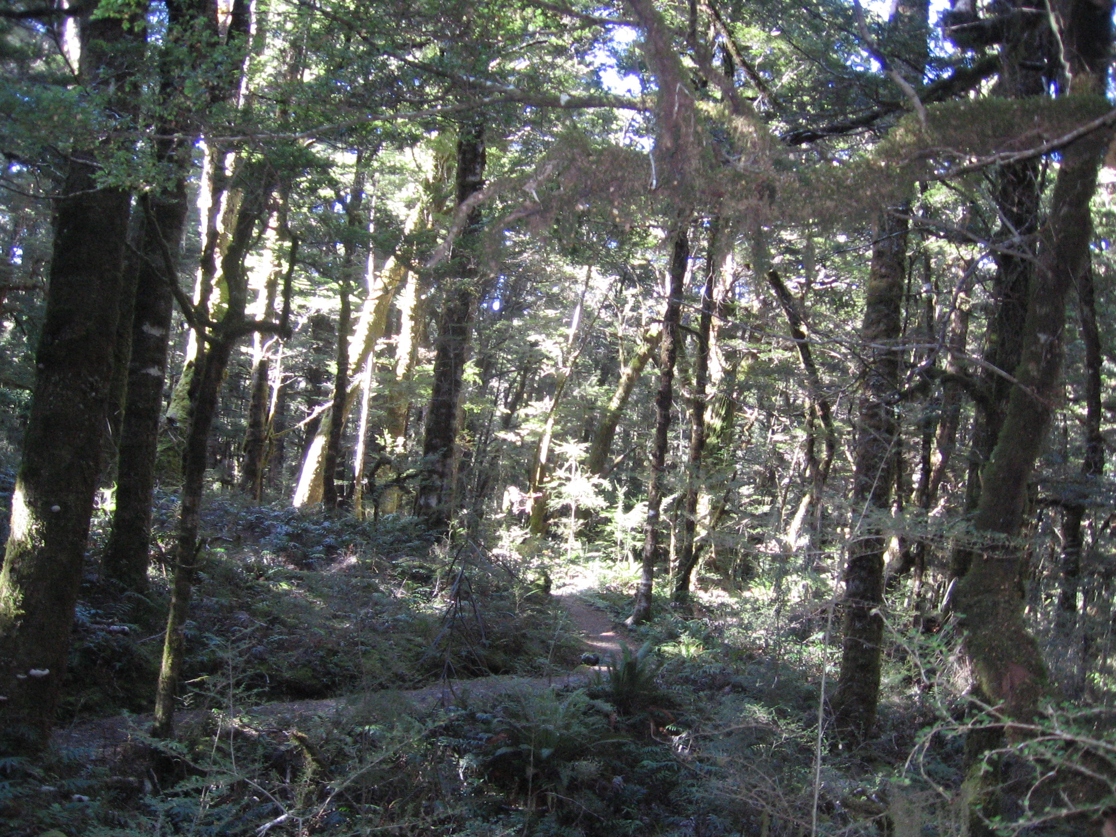
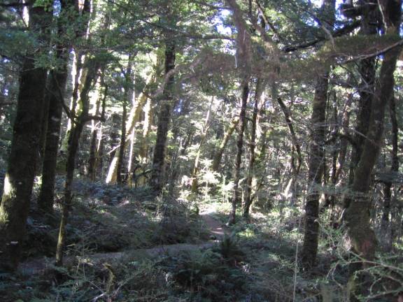
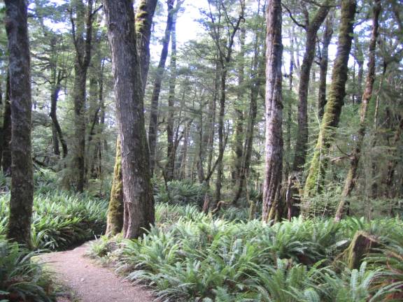
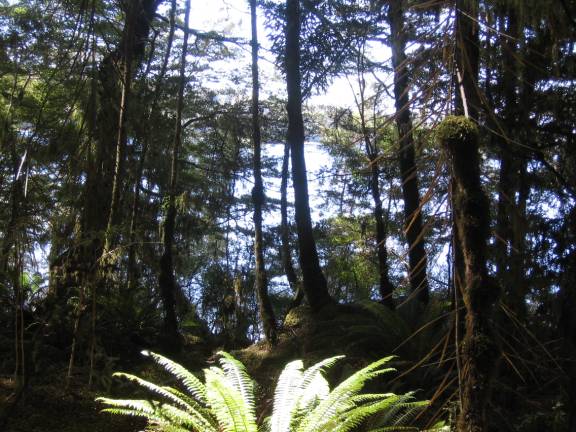
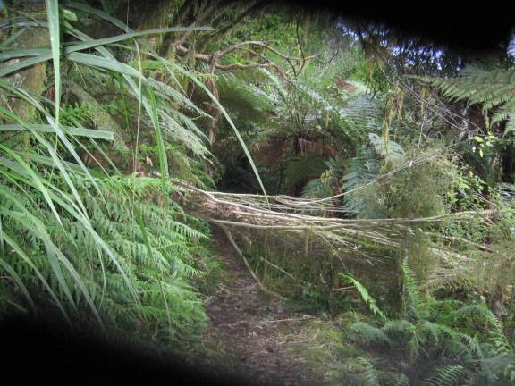
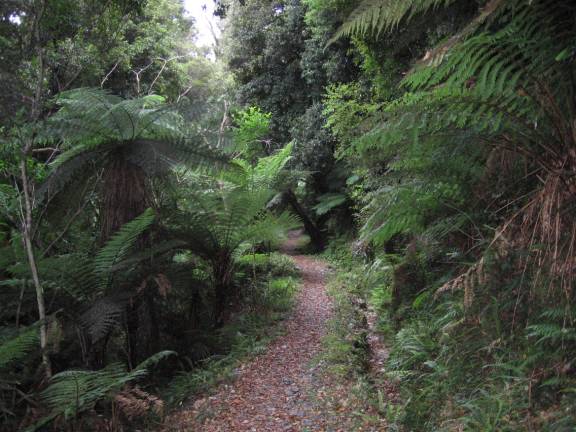
The remainder of the photos were taken walking down from Iris Burn Hut to Rainbow Reach. Personally, I think the rain forest along the lower portion of the track to Moturau Hut is the most beautiful portion of the track. In 2006, I was fortunate to have a sunny day and could see the sunlight filtering through the trees.
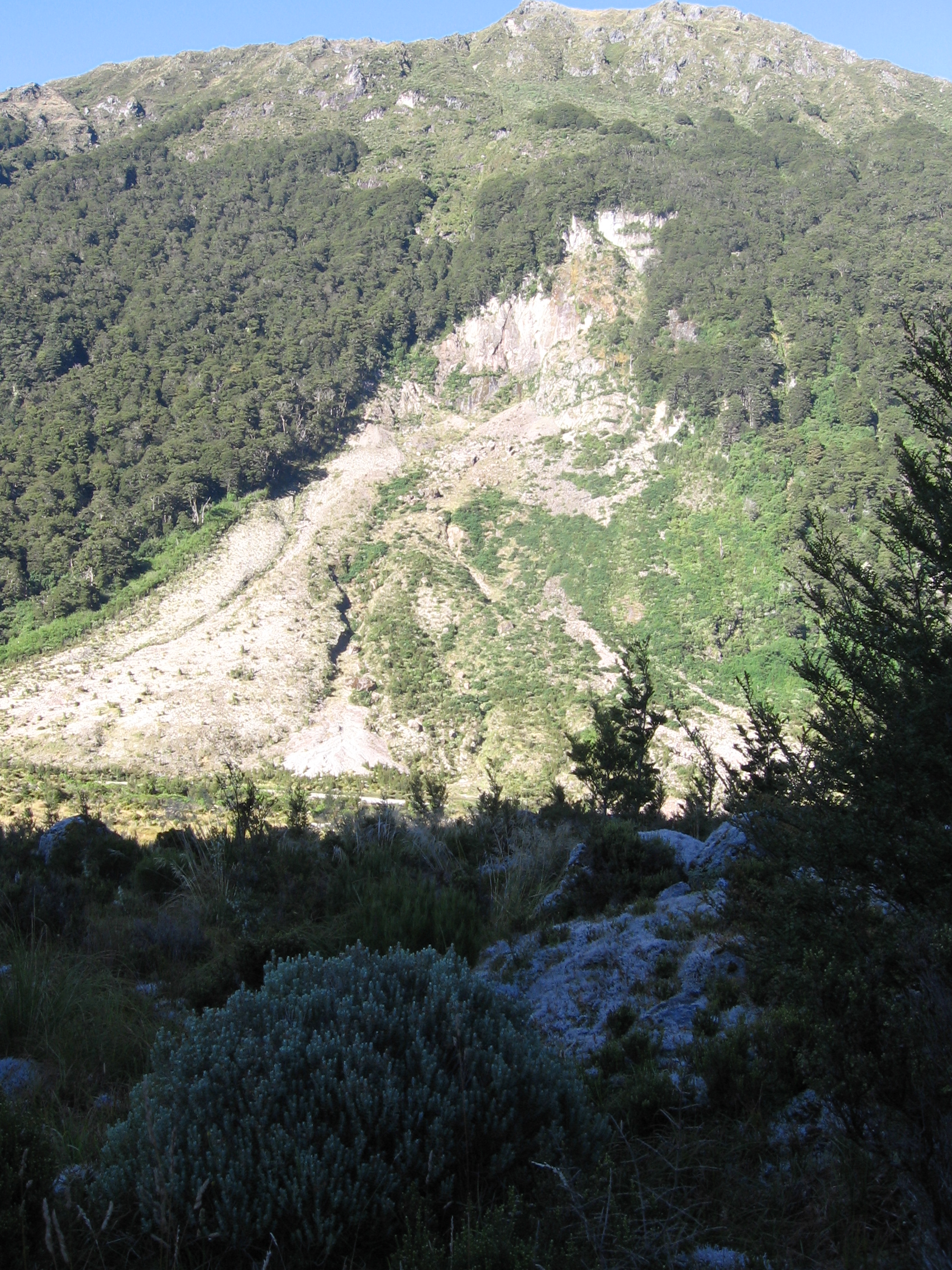
The Big Slip
Iris Burn
Iris Burn (2004)
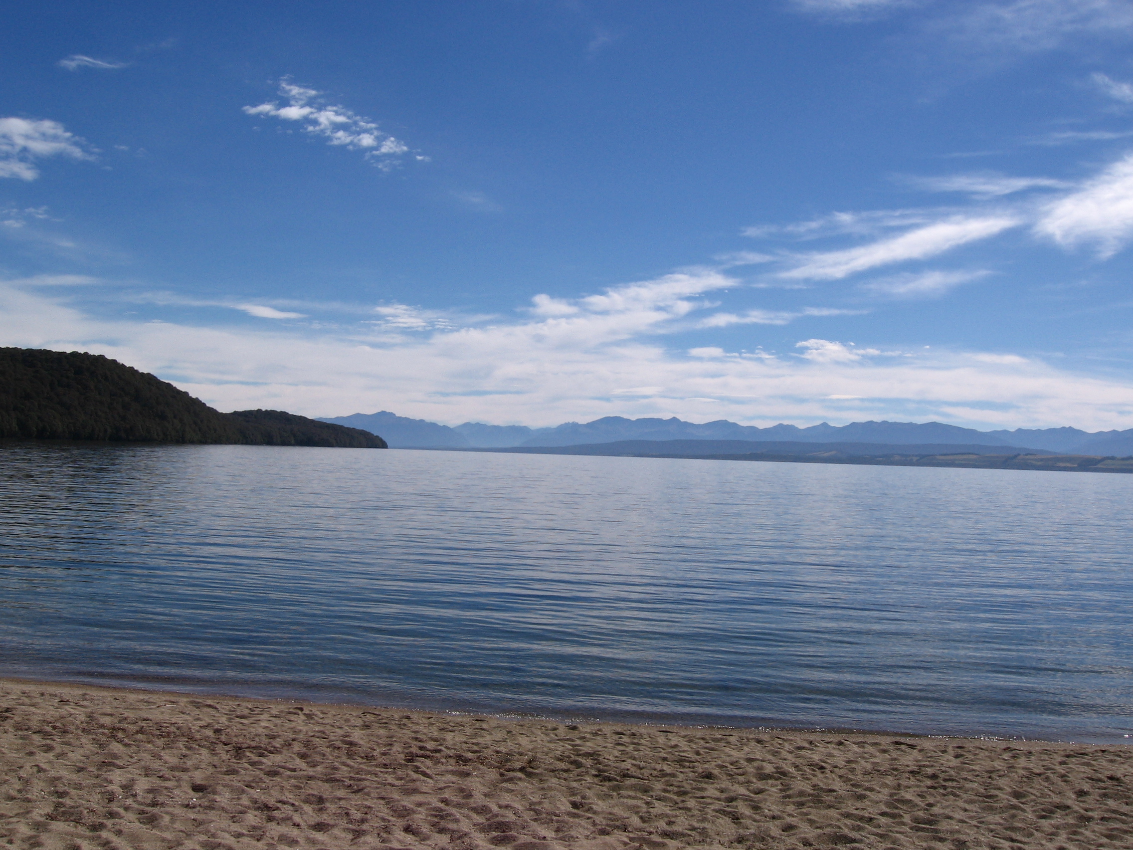
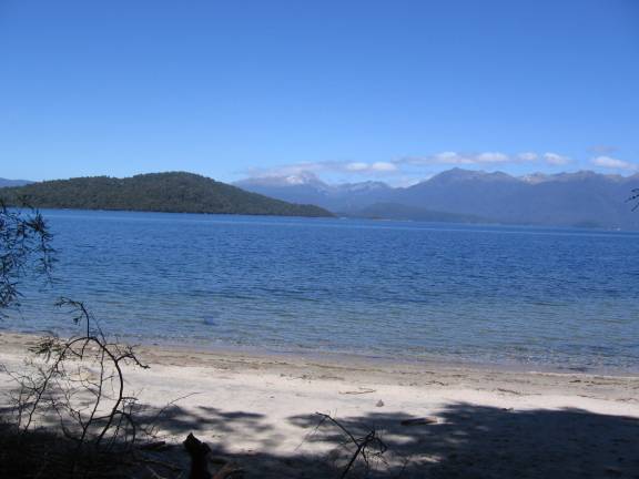
Lake Manapouri (Beach at Moturau Hut)
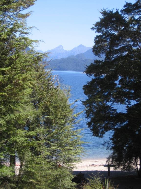
Lake Manapouri, from porch of Moturau Hut

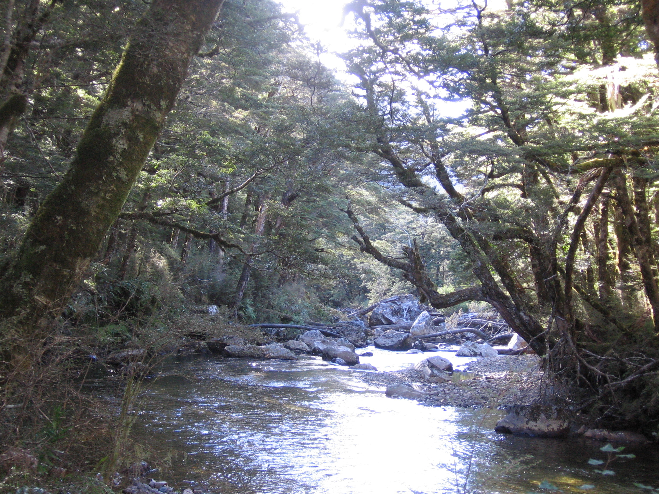
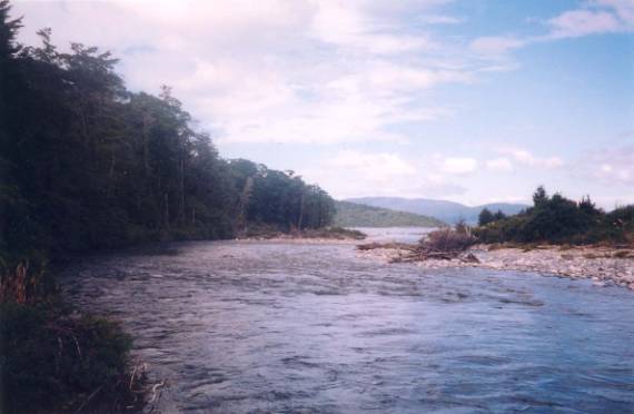
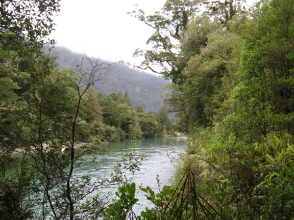
Waiau River
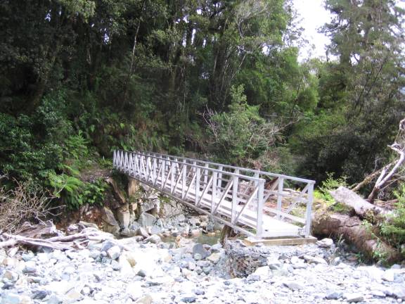
Bridge at Rainbow Reach (2004)